Entering the world of aerial surveying can feel daunting. Real equipment is expensive, and mistakes in the field cost time and money. You need a way to build confidence and skill before ever taking off.
The SRIZFLY drone simulator is the answer. This powerful tool provides a professional-grade virtual environment. It bridges the gap between learning theory and applying it in real mapping scenarios.
Industries like construction, agriculture, and infrastructure inspection need skilled pilots. The demand is growing fast. Staying current with technology is crucial for success.
This platform offers a cost-effective and safe training solution. It accelerates skill development without any risk to hardware. You can practice complex missions again and again.
This article will guide you through everything from basic features to advanced applications. Discover how to master surveying techniques and prepare for a successful career.
Key Takeaways
- SRIZFLY offers a professional-grade virtual training environment for aerial surveying.
- It provides a safe, risk-free way to practice without using expensive physical equipment.
- The tool effectively bridges the gap between theoretical knowledge and practical field application.
- There is a significant and growing demand for skilled operators in various industries.
- This simulator is a cost-effective solution that significantly accelerates skill development.
- Mastering the technology now is essential for staying competitive in a rapidly evolving field.
- The platform allows for repetitive practice of complex missions to build true proficiency.
Introduction to Drone Simulation and Mapping Technology
Learning to operate UAVs for precise data gathering was once a risky and expensive endeavor. Early pilots developed skills through trial and error in the field. Mistakes often meant damaged equipment and lost time.
Understanding the Evolution of Drone Training
The training landscape has transformed dramatically. Virtual practice environments emerged as a safer, more economical alternative. These systems allow pilots to build fundamental skills without financial risk.
This evolution mirrors advancements in aerial surveying technology. Traditional ground methods gave way to sophisticated photogrammetry. Modern platforms now deliver high-resolution site maps with robotic precision.
The Role of Mapping in Modern Surveying
Accurate spatial data has become essential across multiple industries. Professional surveying now relies on digital terrain models and orthophotos.
Critical applications include:
- Construction site monitoring and progress tracking
- Agricultural field analysis and crop health assessment
- Utility infrastructure inspection and maintenance planning
- Environmental monitoring and change detection
Mastering proper flight planning and camera settings is crucial. These techniques ensure consistent altitude and overlap for quality results. Practice in a virtual environment builds the proficiency needed for real-world success.
The right training software bridges theory and practical application effectively. It prepares operators for the demands of contemporary surveying projects.
Mapping drone simulator: Essential Features for Mapping and Surveying
Effective training for surveying hinges on practicing with features that mirror real-world workflows. A professional platform offers more than just flight control. It provides a complete virtual environment for mission planning and data analysis.
Robust Mapping Tools and Interfaces
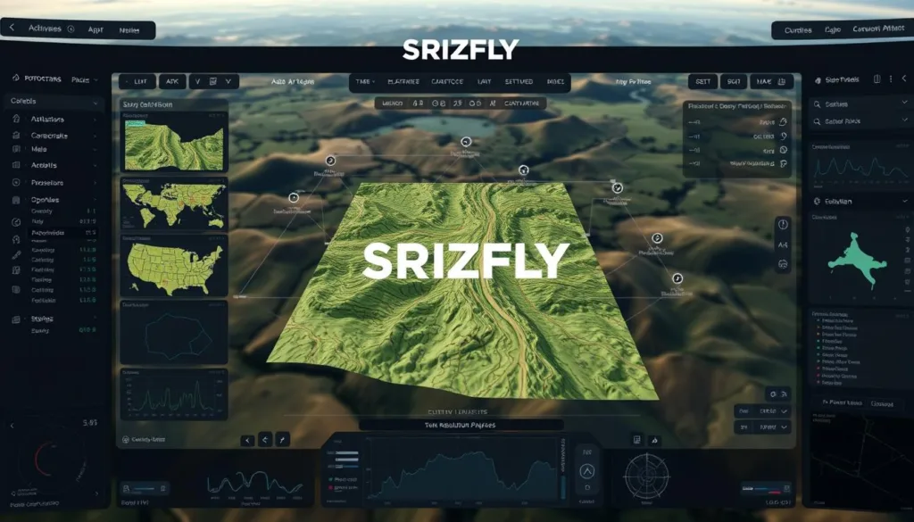
These advanced systems integrate with ground control software like QGroundControl. This allows you to plan complex autonomous missions with waypoints. You can set camera trigger points and adjust flight paths just like on a real job.
The interface is designed for precision. It gives you full control over essential parameters for creating high-quality maps.
Precision Flight and AI-Driven Data Capture
Consistent altitude, speed, and image overlap are critical. The simulator ensures your virtual flights maintain these parameters perfectly. AI features can even analyze captured images in real-time.
This helps identify coverage gaps or poor-quality shots before they ruin a project. It teaches you to optimize flight patterns for complete site coverage.
Real-Time Navigation and Tracking
You get instant feedback on your position and path adherence. The system shows exactly where you have flown and what areas you have covered. This immediate visual feedback is invaluable for learning.
You quickly understand how flight decisions impact the final data quality. Practicing this way builds true competence for costly real-world mapping projects.
SRIZFLY Drone Simulator: Product Overview and User Experience
Navigating professional training tools should feel intuitive, not intimidating. This is the core philosophy behind SRIZFLY’s design approach. The platform ensures operators can focus on skill development rather than struggling with complex controls.
User-Centric Design and Interface
The interface welcomes both beginners and seasoned professionals. Customizable dashboards allow personalization based on individual preferences. Clear visual feedback guides users through each operation seamlessly.
Progressive difficulty levels prevent overwhelming new operators. The system balances realism with accessibility perfectly. Professional-grade controls remain available without creating unnecessary complexity.
Interactive Training Missions and Scenarios
Scenario-based learning places users in realistic project environments. These include construction site documentation and agricultural field surveys. Each mission builds specific skills for real-world applications.
The training experience emphasizes skill retention through repetitive practice. Varied conditions prepare operators for unexpected challenges. Immediate performance feedback helps identify improvement areas quickly.
This approach transforms theoretical knowledge into practical flying competence. Users develop confidence through structured, measurable progress.
Advanced Simulation Environments and Graphics
Immersive environments with realistic graphics are essential for developing true operational competence. The visual quality directly impacts how well skills transfer to real-world situations.
Photo-Realistic Visuals and Dynamic Weather Effects
The platform’s advanced graphics engine creates stunningly detailed environments. Users see glowing city lights, flying birds, and shimmering water reflections.
Dynamic weather conditions add another layer of realism. Practice sessions can range from calm daylight to windy nights with rain or dense fog. These variable conditions prepare operators for any scenario they might encounter.
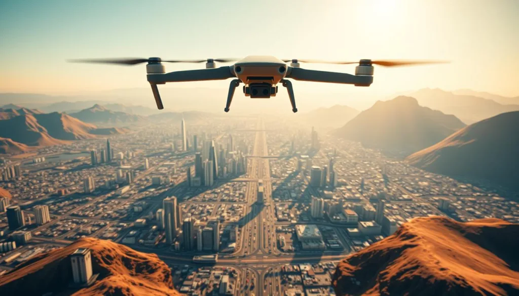
High-fidelity graphics help develop crucial visual orientation skills. Natural movements and environmental details enhance the training experience significantly.
Detailed Digital Worlds and 3D Mapping
Six distinct digital worlds offer diverse practice landscapes. These include cityscapes, countryside, construction sites, and agricultural fields.
Each environment covers up to 20 square kilometers of explorable terrain. This extensive scale provides ample space for comprehensive practice sessions.
Detailed 3D models enable realistic terrain following and obstacle avoidance. New locations like Monastery Ruins and St. Stephen Mine are regularly added to expand training opportunities.
The variety of environments ensures operators gain experience across different project types. This prepares them for the diverse conditions of professional work.
Integration with Real-World Mapping & Surveying Applications
The true value of any training platform emerges when skills directly transfer to professional applications. Virtual practice becomes meaningful when it prepares operators for actual job requirements.
Industry-Specific Use Cases
Construction projects benefit tremendously from accurate documentation. High-resolution site maps track progress and verify quantities throughout each phase.
Agricultural applications include crop health monitoring and precision field analysis. These techniques help optimize resource allocation and treatment plans.
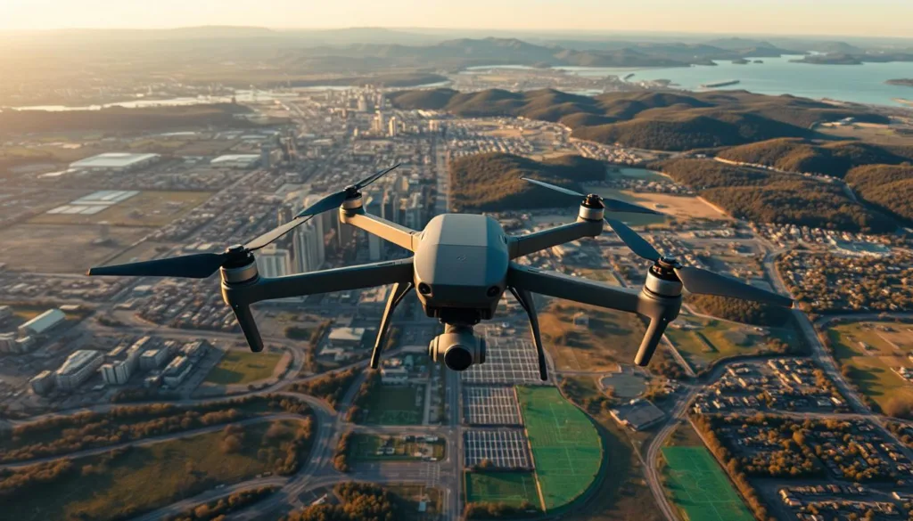
Utility inspections represent another critical application area. Operators access difficult locations while capturing detailed condition data safely.
Enhancing Project Accuracy and Efficiency
Proper training significantly improves data quality. Consistent flight patterns and camera settings ensure complete coverage.
This software helps operators understand client requirements before field deployment. They practice quality control procedures that prevent costly rework.
The platform builds confidence for handling complex drone missions. Users develop muscle memory for emergency responses and equipment troubleshooting.
Efficiency gains come from reduced on-site learning time. Well-trained operators complete projects faster with fewer errors.
Interactive Missions and Flight Training Modules
The pathway to professional piloting excellence begins with mastering fundamental controls before advancing to challenging missions. This structured approach ensures operators build confidence progressively.
Over 25 diverse scenarios cover every aspect of aerial operations. Each mission type serves a specific training purpose while maintaining engagement.
From Basic Maneuvers to Complex Flight Paths
Foundation training starts with essential controls like takeoff, landing, and directional movements. Operators master pitch, roll, and yaw in a safe virtual space.
Advanced modules introduce intricate navigation through varied landscapes. Construction sites, agricultural fields, and village surveys provide realistic practice environments.
Precision flying skills develop through carefully designed progression paths. Each successful mission unlocks more complex challenges.
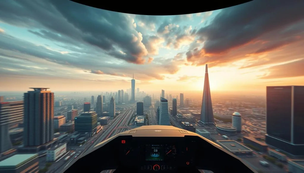
Simulated Emergency and High-Pressure Scenarios
Critical thinking skills get tested in time-sensitive operations. Urgent cargo deliveries and medical supply missions simulate real-world pressures.
Racing tracks and obstacle courses enhance spatial awareness and control precision. These skills directly transfer to professional aerial work.
| Mission Type | Skill Focus | Environment | Training Benefit |
|---|---|---|---|
| Basic Maneuvers | Control Mastery | Training Area | Foundation Building |
| Aerial Photography | Precision Flying | Construction Sites | Real-World Preparation |
| Emergency Scenarios | Decision Making | Burning Forests | Pressure Handling |
| Racing Tracks | Spatial Awareness | Industrial Zones | Advanced Control |
| Obstacle Courses | Navigation Skills | Varied Landscapes | Environment Adaptation |
The variety prevents training monotony while ensuring comprehensive skill development. Each completed mission brings operators closer to professional readiness.
Technical Specifications and System Requirements
The performance of any virtual training environment depends heavily on the hardware running it. Ensuring your computer meets the necessary specifications guarantees a smooth and effective learning experience.
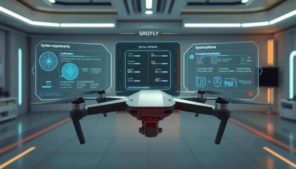
This platform supports multiple operating systems to accommodate different user preferences. Compatible versions include Windows 10, Windows 11, and several Linux distributions.
Minimum vs. Recommended Hardware
Meeting the minimum requirements allows basic operation of the training software. For optimal performance with high graphics settings, the recommended specifications are ideal.
The processor needs are specific. A Core i5-12500 or AMD Ryzen 5 5600x meets the minimum standard. For better performance, a Core i5-13500 or AMD Ryzen 7 5800x is recommended.
Memory is crucial for smooth operation. The system requires 16 GB of RAM as a baseline. Upgrading to 32 GB of RAM ensures smoother multitasking.
Graphics processing power directly affects visual quality. An Nvidia 3060 ti GPU with 8GB VRAM is the entry point. An Nvidia 4070 GPU provides a significantly enhanced experience.
| Component | Minimum Specification | Recommended Specification |
|---|---|---|
| Processor | Core i5-12500 / Ryzen 5 5600x | Core i5-13500 / Ryzen 7 5800x |
| RAM | 16 GB | 32 GB |
| GPU | Nvidia 3060 ti (8GB VRAM) | Nvidia 4070 (8GB VRAM) |
Autopilot Platform Integration (PX4 and ArduPilot)
The training software integrates with leading open-source autopilot platforms. This includes support for both PX4 and ArduPilot systems.
This integration allows users to practice autonomous flight programming. You can develop and test mission planning skills within a safe virtual space. It bridges the gap between simulation and real-world autopilot operation.
Customizable Settings and Flight Control Options
Personalization sits at the core of effective virtual training. The platform offers extensive settings that let users tailor the experience to their specific needs. This flexibility ensures every practice session is productive.
Manual vs. Autonomous Flight Modes
Operators can choose between manual control and programmed autopilot flight paths. Manual mode builds direct piloting skills using controller inputs. Autonomous mode teaches mission planning for complex operations.
Practicing both methods prepares users for the full spectrum of professional work. They gain confidence in handling any situation.
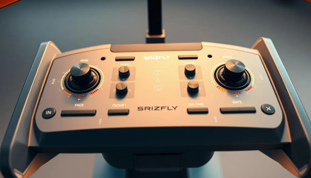
First-person and third-person viewing options further enhance control. Each perspective offers unique advantages for different mission types. This choice improves overall flight precision.
| Flight Mode | Primary Skill Developed | Best For Training |
|---|---|---|
| Manual Control | Direct Piloting Reflexes | Emergency Response |
| Autonomous Program | Mission Planning Accuracy | Large Area Surveys |
Controller Recommendations and User Tips
For the best experience, the development team recommends specific controllers. Models from Radiomaster, TBS Tango, Jumper, and FrSky Taranis offer optimal compatibility.
The simulator features three UAV types: multirotor, fixed-wing, and VTOL. Over 20 digital twins of real drones from top manufacturers are available.
Adjusting control sensitivity and environmental settings helps match your skill level. These tweaks maximize learning effectiveness for every user.
Robust Performance and Graphics for Superior Simulation
Real-time processing capabilities separate professional-grade simulation from basic training tools. The technical foundation determines how well virtual practice translates to real-world competence.
Smooth operation depends on optimized rendering techniques. These balance stunning visual fidelity with consistent frame rates. Users enjoy responsive controls even during complex scenarios.
Optimized Rendering and Real-Time Processing
Advanced graphics engines create immersive environments with realistic lighting and shadows. Particle effects and reflections add depth to the training experience.
The system calculates physics, environmental effects, and vehicle dynamics simultaneously. This happens without lag or stuttering. Real-time processing ensures immediate feedback for skill development.
Performance scaling automatically adjusts quality based on your computer hardware. This maintains optimal experience across different systems. Efficient resource management prevents degradation during extended sessions.
Consistent frame rates are crucial for developing accurate muscle memory. Robust performance lets users focus on skill building rather than technical limitations.
Mapping & Simulation Software: The Future of Drone Training
The landscape of professional UAV training is rapidly evolving through strategic global partnerships and continuous technological innovation. These developments ensure the platform remains at the forefront of virtual education.
Innovative Partnerships and Software Updates
Strategic collaborations with Indian companies RapiFuzz and PDRL demonstrate global expansion. Operations in China further extend the platform’s international reach.
Regular updates introduce new training environments and mission scenarios. This continuous improvement cycle responds directly to user feedback and industry needs.
Continuous Enhancements in Flight and Mapping Accuracy
Three license versions cater to different user requirements. The Base version covers fundamental maneuvers in both manual and autonomous modes.
The Developer version focuses on programming skills without physical equipment. The Professional package offers the complete feature set for comprehensive training.
Future improvements will enhance flight physics and workflow integration. Advanced techniques and AI assistance will further refine the training experience.
These developments prepare operators for evolving industry standards and certification requirements.
Real-World Applications and Success Stories
The proof of any training tool’s effectiveness is found in its real-world impact. Professionals trained on this platform are applying their skills to achieve remarkable results across key industries. Their success stories highlight the practical value of the platform’s features.
This section explores how virtual practice translates into tangible benefits for construction, agriculture, and utility projects.
Construction, Agriculture, and Utility Mapping
In construction, operators create highly accurate site maps for bidding and progress tracking. They use advanced techniques to generate precise 3D models for earthwork calculations.
Agricultural applications include detailed field surveys for crop health analysis. This allows for targeted treatment, saving resources and improving yields.
For utilities and oil & gas, the technology enables safe inspection of critical infrastructure. Operators can document assets from a safe distance, minimizing ground crew exposure to hazards. This application of drone technology is vital for maintenance and safety protocols.
Documenting Projects and Enhancing Safety
The ability to practice complex missions virtually leads to superior project documentation. Pilots enter the field with confidence, reducing errors in data collection.
Safety sees significant improvement. Challenging scenarios, like inspecting tall structures or navigating tight spaces, are mastered in a risk-free setting. This preparation ensures safe flying when operating expensive drones on actual job sites.
Customer Testimonials and Case Studies
Users consistently report accelerated skill development. One project manager noted, “The simulator cut our training time in half. Our pilots were project-ready weeks earlier.”
This positive experience is common. Users credit the realistic simulator environment with building the muscle memory needed for precise drone control under pressure.
Conclusion
Building competence in aerial data collection demands systematic training that bridges theory and application. The SRIZFLY platform offers this essential foundation through comprehensive virtual preparation.
This approach eliminates the financial risks of traditional learning while accelerating skill development. Users gain valuable experience across diverse environments and mission types.
The system’s professional-grade features and realistic graphics create an immersive training environment. From basic racing challenges to complex operational scenarios, every session builds confidence.
Proper settings configuration and systematic progression maximize learning effectiveness. The time invested in this simulator pays dividends through safer operations and higher-quality results.
Begin your professional training journey today and transform your flying skills with the SRIZFLY platform.
FAQ
What are the minimum computer requirements to run the SRIZFLY simulator effectively?
For a smooth experience, your PC should have at least an Intel i5 processor, 8 GB of RAM, and a dedicated graphics card like an NVIDIA GTX 1060. These specifications ensure the software runs without lag, providing a realistic flying experience.
Can I use my own radio controller with the simulation software?
Yes, the platform supports a wide range of popular radio controllers. We recommend models from FrSky and Radiomaster for the best integration. The software automatically maps the controls for an intuitive setup process.
How does the software help with learning real-world mapping techniques?
The simulator includes specialized training missions that teach essential data capture methods. You can practice complex flight paths and autonomous missions, which directly translate to improving accuracy in surveying projects.
Are there different environments or maps to fly in?
Absolutely. You can access various detailed digital worlds, from urban cityscapes to rugged natural terrain. These environments include dynamic weather effects to test your skills under different conditions.
Does the simulation support racing and other flying styles beyond mapping?
While focused on professional applications, the software offers modes for First Person View (FPV) racing and freestyle flying. This allows users to develop sharp reflexes and master advanced aerobatic maneuvers.
Is the autopilot integration compatible with PX4 and ArduPilot?
Yes, SRIZFLY offers robust integration with both the PX4 and ArduPilot platforms. This feature is crucial for pilots who need to train with the same flight stack they use in the field for mapping drones.
What kind of customer support is available if I encounter issues?
We provide comprehensive support through detailed online documentation, video tutorials, and a responsive customer service team. Our goal is to ensure you have a seamless experience from installation to advanced usage.
How often is the software updated with new features?
Our development team releases regular updates that include new aircraft models, enhanced graphics, and improved flight physics. These continuous enhancements keep the simulation at the forefront of training technology.

