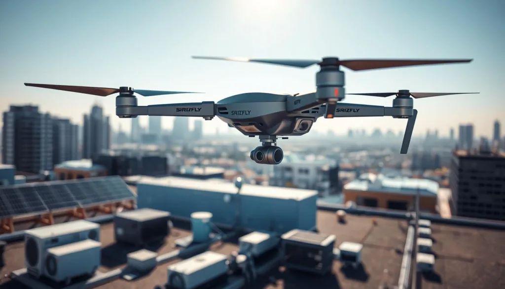
In today’s fast-paced world, modern technology is reshaping how we approach complex assessments. With the rise of advanced aerial tools, professionals can now convert aerial footage into precise, measurable 3D models in just minutes. This innovation significantly enhances the efficiency of infrastructure evaluations.
For those managing large-scale projects or even a simple roof assessment, utilizing these digital solutions ensures accurate results. By leveraging advanced tools, teams can perform thorough evaluations without the risks associated with manual access to surfaces. This means safety and efficiency go hand in hand.
Our guide will delve into how these technologies can streamline workflows and provide high-quality results for both residential and commercial properties. Whether it’s a comprehensive roof inspection or a broader infrastructure survey, these tools are revolutionizing the industry.
Key Takeaways
- Advanced aerial tools simplify complex assessments.
- Professionals can conduct evaluations safely and efficiently.
- These technologies provide precise, measurable results quickly.
- Streamlined workflows lead to high-quality outcomes.
- Innovative solutions are transforming infrastructure management.
Understanding Drone Road Inspection Simulation Software
Innovative technologies are revolutionizing the methods we use for detailed assessments. One such advancement is the SkyeBrowse videogrammetry engine. This tool transforms standard drone video into a measurable 3D model in just minutes. It eliminates the need for complex ground control points, making the process much simpler.
This engine operates by capturing overlapping frames while flying in an orbit or grid pattern. The result is a dense 3D point cloud that provides high-resolution imagery. By automating data collection, inspectors can avoid the risks of manual site visits.
Simulation plays a crucial role in road inspections. It allows teams to explore various scenarios using a digital twin of the actual infrastructure. This capability ensures that engineers can perform detailed structural assessments and road condition analysis effectively.
What It Is and How It Works
The software extracts precise geometry from video frames. This ensures every inch of the surface is captured, providing consistent data for future evaluations. By integrating this inspection software into daily operations, teams gain access to accurate, shareable models for every project.
The Role of Simulation in Road Inspection
- Facilitates testing of various maintenance strategies.
- Provides a reliable foundation for engineers.
- Enhances data collection efficiency.
- Improves safety by reducing manual inspections.
- Delivers consistent and accurate results for future evaluations.
Benefits of Using Drone Road Inspection Simulation Software
Utilizing modern aerial technology brings numerous advantages to the assessment process. One significant benefit is enhanced safety. By employing these tools, personnel are removed from potentially hazardous areas, fully complying with OSHA’s safety standards. This not only protects workers but also streamlines the evaluation process.
Moreover, the accuracy of aerial imagery is remarkable. With premium tiers in these tools, measurements can achieve precision up to 0.25 inches. This level of detail is crucial for professionals, especially insurance adjusters who require exact documentation for claims.
Replacing traditional manual methods with aerial capture drastically reduces the risk of accidents. Companies can confidently bid on material quantities, knowing they have accurate data within a 2-6 inch margin. Additionally, the outputs generated by this inspection technology are georeferenced, providing reliable information for legal and litigation purposes.
By choosing platforms with varying accuracy options, firms can align their processing costs with specific project needs. This flexibility ensures that even the most intricate details are captured, preventing critical defects from being overlooked.
Key Features and Tools for Effective Inspections
The evolution of aerial technology has led to powerful tools that enhance the effectiveness of inspections. These innovations provide teams with a competitive edge, allowing for more thorough evaluations.
Automated flight planning tools are among the most significant advancements. They calculate the most efficient routes for a drone, ensuring comprehensive coverage while optimizing battery life and mission time.
High-resolution cameras capture thousands of images that are processed into detailed 3D models. This capability allows professionals to examine structures from any angle, improving the quality of their assessments.
Platforms like DroneDeploy enable teams to generate orthomosaics and point clouds essential for complex infrastructure mapping. These tools also allow users to pull pitch angles, ridge lengths, and total square footage directly from browser-based models.
By integrating inspection features, teams can create a digital twin of the site, serving as a permanent record for future evaluations. The ability to annotate and measure distances within these models makes communication with stakeholders seamless.
As one expert noted, “The combination of advanced processing engines and user-friendly tools transforms how inspections are conducted.” This ensures that even large datasets are handled efficiently, providing actionable insights in a fraction of the time required by traditional methods.
Improving Inspection Efficiency with Drone Technology
The integration of aerial technology is transforming how teams conduct assessments. This innovative approach leads to significant time and cost savings, making it an attractive option for many organizations.
For instance, Shell saved $100,000 on a single job by using automated inspections instead of traditional methods. This demonstrates how effective these tools can be in reducing costs.
Moreover, drone inspections can be up to 85% faster than conventional methods. This speed allows teams to complete more assessments in less time, enhancing overall productivity.
Additionally, implementing aerial technology can cut assessment costs by 40%. This is particularly evident in commercial roofing, where visual data management is leveraged effectively.
- Automated flight planning reduces mission time, allowing teams to conduct multiple inspections in a single day.
- A major telecom provider improved 5G tower upgrades, reducing onsite time from five days to just 2.4 days.
- Streamlined workflows foster better collaboration, as digital reports can be shared instantly with stakeholders.
- Residential projects typically cost between $120 and $350 for standard assessments, showcasing the financial benefits.
- High-volume teams can benefit from annual subscriptions, while variable-volume contractors can use per-model credit pricing.
- By minimizing follow-up site visits, companies can focus on actual repairs rather than repetitive data collection.
“The future of inspections lies in the efficiency and accuracy that aerial technology provides.”
Integrating Drone Road Inspection Simulation Software into Your Workflow
As technology continues to advance, incorporating aerial tools into your operations can significantly enhance efficiency. Selecting the right platform is crucial for seamless integration with your existing drone fleet. This helps avoid unnecessary hardware upgrade costs and ensures a smooth transition.
A standard workflow for these assessments includes several key steps:
- Conducting a site survey.
- Planning the flight path.
- Executing the drone flight.
- Analyzing the collected data.
- Generating comprehensive reports for stakeholders.
Before fully implementing the new technology, it’s vital to test data compatibility and run sample workflows. This ensures the software works smoothly with your current systems. Notably, certified pilots are 40% less likely to experience safety incidents, making FAA Part 107 certification essential for your team.
Centralized data storage and automated compliance features help track key metrics. This capability allows teams to generate reports that meet regulatory requirements for every project. By adopting a seamless process, firms can improve compliance accuracy by 35%, reducing the number of regulatory breaches.
Ultimately, the goal is to ensure that new capabilities integrate smoothly with existing operations. This leads to better collaboration and more efficient project management.
Drone Road Inspection Simulation Software vs. Traditional Methods
The methods we use for assessments are evolving rapidly with technological advancements. Traditional roof evaluations often require technicians to physically navigate hazardous surfaces. The National Roofing Contractors Association (NRCA) acknowledges that this practice carries significant fall risks.
In contrast, satellite platforms like EagleView and Nearmap provide imagery, but they cannot capture damage in real-time. This limitation means they may miss critical updates after storms or other events.
| Aspect | Traditional Methods | Drone-Based Solutions |
|---|---|---|
| Safety Risks | High – Technicians exposed to falls | Low – No physical access needed |
| Data Timeliness | Delayed – Dependent on previous imagery | Immediate – Captures current conditions |
| Measurement Accuracy | Prone to human error | 99.4% accuracy for critical measurements |
| Site Visibility | Limited – Manual inspections | Comprehensive – Thermal and visual data |
| Cost Efficiency | Higher labor costs | Lower costs due to reduced labor |
Drone-based inspection software eliminates the need for ladders or scaffolding, making assessments faster and more detailed. This technology not only uncovers hidden issues but also provides a superior return on investment by enhancing data quality and reducing labor costs.

Real-World Applications and Case Studies in the United States
Real-world applications of aerial technology are reshaping how we assess infrastructure and property damage. For instance, after Hurricane Nicole, an EagleView Assess drone identified 240 impact marks on a roof. This discovery prompted the insurance company to approve a full replacement, showcasing the efficiency of aerial inspections.
In another example, researchers at The Canyons of the Ancients National Monument in Colorado utilized aerial LiDAR to map Sand Canyon. They collected over 3.2 billion data points, demonstrating the technology’s capability to capture vast amounts of information.
These instances illustrate how drone technology is increasingly used by insurance adjusters to document storm damage. This expedites the processing of complex claims, making it a vital tool in today’s assessments.
- The case of Hurricane Nicole highlights how AI-powered inspections can reveal hundreds of impact marks that might be overlooked during manual evaluations.
- A retail coffee outlet project in the U.S. effectively used drones and laser scanners to create an as-built BIM model.
- These applications prove that aerial inspection tools are adept at detecting specific damage types, such as missing shingles and moisture infiltration.
- By analyzing historical data, teams can predict future maintenance needs, preventing costly emergency repairs.
- Successful implementations across various industries affirm that drones are essential for modern, data-driven infrastructure management.
- Lessons learned from these projects stress the importance of selecting the right tools to ensure accurate and actionable data.
Future Trends and Innovations in Road Inspection Software
The future of infrastructure assessments is bright, thanks to emerging technologies that are changing the landscape. Innovations like multi-spectral imaging will help monitor moisture levels and identify potential water infiltration sites across roofs.
Moreover, AI-powered systems are achieving accuracy levels exceeding 98%. This allows for predictive maintenance that identifies issues before they escalate into major structural problems.
Additionally, the integration of digital twin modeling with real-time IoT sensor data will create a virtual representation of infrastructure health. This will highlight potential failure points, ensuring timely interventions.
LiDAR technology is also becoming more accessible. It enables drones to generate highly detailed topographical maps, essential for spotting drainage issues and structural deformities.
As technology evolves, we anticipate even more seamless integration with BIM and CAD systems for advanced 3D Scan-to-BIM modeling. Predictive maintenance strategies will become standard, helping property managers extend asset lifespans while reducing operational costs.
These trends underscore a shift toward proactive, data-driven management, ensuring that infrastructure remains safe and functional for years to come.

Conclusion
In conclusion, the landscape of infrastructure assessments is rapidly evolving with cutting-edge technology. The introduction of advanced tools has revolutionized the industry, providing a safer, faster, and more accurate way to conduct evaluations.
By leveraging innovative features like AI-powered defect detection and 3D modeling, professionals can now make informed decisions based on precise, actionable data. The shift from traditional methods to these modern solutions not only offers significant cost savings but also enhances safety for teams operating in challenging environments.
As technology continues to advance, integrating these tools into standard workflows will be essential for maintaining competitive and efficient operations. We encourage all industry professionals to explore how these innovative solutions can enhance their specific processes and overall project outcomes.
Investing in the right platform today will ensure your team is prepared for the future of infrastructure management and maintenance.
FAQ
What is drone inspection technology?
This technology utilizes unmanned aerial vehicles to perform inspections of various structures, providing high-resolution images and data for assessments.
How does this technology improve safety?
By allowing inspectors to gather data from a distance, it reduces the need for personnel to access hazardous areas, minimizing risks associated with traditional inspection methods.
What types of surfaces can be inspected?
It can effectively assess a variety of surfaces, including roofs, bridges, and other structures, ensuring comprehensive evaluations.
How quickly can inspections be completed?
Inspections can often be conducted in a matter of minutes, significantly reducing the time required compared to conventional methods.
What kind of data can be collected during inspections?
The technology can capture high-quality images, video footage, and various measurements, providing detailed insights into the condition of the inspected area.
Is this technology cost-effective?
Yes, it can lead to significant cost savings by reducing labor hours and improving the efficiency of the inspection process.
How does data processing work?
Collected data is processed using specialized tools that allow for detailed analysis and reporting, enhancing the accuracy of assessments.
Can this technology be integrated into existing workflows?
Absolutely! Many platforms are designed to seamlessly integrate with current systems, making adoption straightforward for teams.
What are some real-world applications?
Many organizations in the United States have successfully implemented this technology for infrastructure assessments, leading to improved maintenance and safety outcomes.
What are the future trends in inspection technology?
Innovations are expected to include enhanced data analytics, improved imaging techniques, and even greater automation in the inspection process.

