



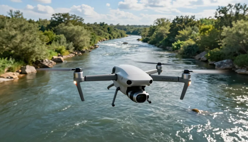
Rivers change quickly. Water levels rise after storms, channels shift, and debris can block flow. For agencies and research teams, UAV river inspection offers a faster way to view these changes across large or remote areas.
Hydrometry measures water level, flow speed, and discharge in rivers, lakes, and streams. Drone hydrometry can support flood risk assessment, irrigation planning, water resource management, and environmental studies. It also helps teams collect data where roads, bridges, or boats are not available.
Traditional monitoring often relies on staff gauges, mechanical current meters, or fixed stations. These tools can be accurate, but they may require costly installation and regular maintenance. Acoustic Doppler Current Profilers can measure flow with sound waves, yet they often need trained operators, boats, and safe water conditions.
Simulation software helps reduce these field challenges. A river survey simulation can test flight paths, camera angles, sensor settings, and survey coverage before a drone takes off. It can also reveal gaps in a data plan and improve the workflow from image capture to analysis.
This approach supports modern waterway monitoring with unmanned aerial systems. Studies by Manfreda, Tmušić, Rivas Casado, and Gleason and Durand show the growing value of UAVs in environmental surveys, river mapping, water-quality studies, and discharge observation.
Key Takeaways
- UAVs can survey rivers in remote or difficult locations.
- Hydrometry measures water level, flow, and discharge.
- Simulation can test flight plans before field work.
- Virtual testing helps select sensors and improve coverage.
- UAV data can support flood planning and water management.
- Unmanned aerial systems can complement fixed monitoring stations.
Simulation Software for UAV-based River Inspection: Core Features and Benefits
River inspection software creates a digital test area for UAV missions. It can show an RTK GPS-equipped drone, sensor payloads, river centerlines, cross sections, terrain, water surfaces, and expected data outputs. This setup helps teams review each mission before fieldwork begins.
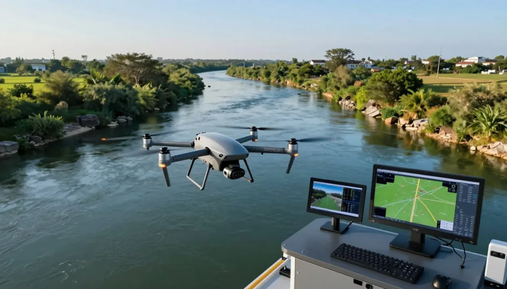
UAV flight planning is a key feature in this workflow. A typical water surface survey follows the river centerline at about 35 meters above the water. The software can display flight paths, survey speed, sensor range, and river chainage in one view.
Drone sensor simulation supports realistic testing of radar and other payloads. A Geolux LX-80 can sit on a three-axis gimbal and measure the distance to the water surface. Raw radar readings can be paired with GNSS data from the drone and base station for post-processed kinematic surveys.
These tools support precise remote river surveying. A modeled mission can target less than 1 meter of spatial resolution along the river centerline. It can represent accuracy of 3 centimeters or better, with a survey speed of about 1.5 to 4.5 kilometers per hour.
River discharge modeling gains value from clear terrain and water elevation inputs. The system can connect river cross sections with surface measurements and planned sensor paths. This gives engineers a practical way to test flow-related scenarios before collecting field data.
Hydrometric data analysis becomes easier when simulated outputs match real project formats. A completed workflow may produce a CSV file with water surface elevation listed by river chainage. Teams can review these records, check gaps, and prepare clean data for later mapping or hydraulic analysis.
How to Simulate UAV Hydrometry, Riverbed Mapping, and Flow Inspection
A useful UAV hydrometry simulation starts with a digital river corridor. Add the planned flight centerline, launch and recovery points, restricted areas, terrain data, and selected sensors. This setup gives the model clear limits before a flight plan is tested.
Water surface scenarios can combine radar readings with GNSS observations. The software uses these inputs to build an elevation profile along the river. Teams can adjust water levels and review how each change affects the planned survey.
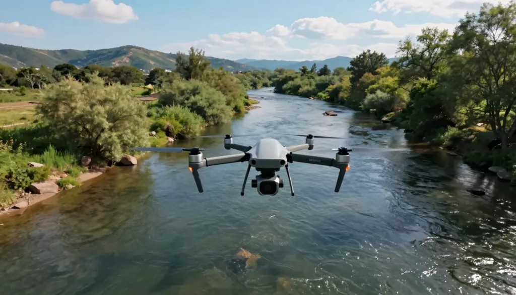
For riverbed elevation mapping, merge dry-area LiDAR with underwater GPR or echosounder data. The combined model creates a detailed terrain surface for hydraulic analysis. It can show gaps, steep banks, shallow zones, and deeper channels.
Flow inspection uses surface velocimetry to track visible movement on the water. LSPIV compares patterns across video frames, while STIV measures the direction and speed of surface features. Simulated lighting, camera angles, and water texture help test data quality.
These steps support flood flow monitoring under changing weather and river conditions. The same datasets can guide flood forecasts, infrastructure planning, and river discharge monitoring. Operators can review sensor coverage and flight safety before collecting field data.
Conclusion
UAV-based river inspection gives teams a clear view of changing water and riverbed conditions. Modern river inspection software can combine optical imagery, GNSS positioning, LiDAR, radar, GPR, echosounders, and flow velocimetry in one survey plan.
With careful UAV survey planning, crews can measure water surface elevation along the river centerline at less than 1-meter spacing. Accuracy can reach 3 centimeters or better. Riverbed mapping can also reach about 10 centimeters of accuracy, supporting reliable drone-based bathymetry.
Survey speed depends on the tool and site. Water surface elevation surveys may cover 1.5 to 4.5 kilometers per hour. LiDAR mapping may cover 1 to 4 kilometers per hour, while GPR and echosounders can collect 1 to 4 cross sections per hour.
These results support flood risk assessment, channel maintenance, and water resource management. By testing routes, sensors, and flight limits before fieldwork, agencies can reduce risk, improve data quality, and make better decisions about river safety.