



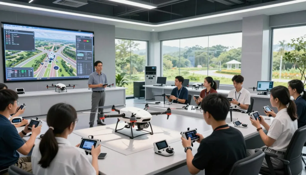
Environmental drone training gives crews a safe way to prepare before a live flight. With the SRIZFLY drone simulator, teams can practice flight planning, inspection routes, sensor use, and emergency actions in a controlled setting.
The simulator supports UAV inspection planning for many U.S. missions. Crews can map habitats, check vegetation, study shorelines, survey wildlife, monitor water, and respond to wildfires. They can also rehearse pollution checks and industrial inspections without risking people or equipment.
As environmental monitoring technology advances, field teams must collect clear data under changing conditions. A drone simulator helps pilots and analysts build sound habits. They can test flight paths, manage battery limits, and review sensor results before entering a sensitive or difficult site.
SRIZFLY also helps teams prepare for wind, poor visibility, signal loss, and other field risks. This early practice improves coordination and supports more accurate environmental surveys. It gives each crew member a clearer role before the aircraft leaves the ground.
Key Takeaways
- Environmental drone training prepares crews for safer field operations.
- The SRIZFLY drone simulator supports realistic mission practice.
- UAV inspection planning can include routes, sensors, batteries, and safety checks.
- Teams can rehearse habitat, wildlife, water, wildfire, and pollution surveys.
- Simulation helps crews respond to weather, signal loss, and equipment limits.
- Early practice can improve data quality and team coordination.
Simulation training for environmental inspection drones: safety, accuracy, and field readiness
Environmental drone crews face risks that can change within minutes. Smoke can reduce visibility, strong winds can drain a battery, and unstable ground can limit access. A realistic environmental inspection simulation gives teams a safe place to practice these conditions before a live flight.
Platforms such as the SRIZFLY drone simulator help crews repeat key tasks in a controlled setting. Pilots can test routes, sensor views, and emergency actions while analysts review the data flow. This approach supports drone flight safety and builds field readiness across the entire team.
Why environmental drone simulation matters
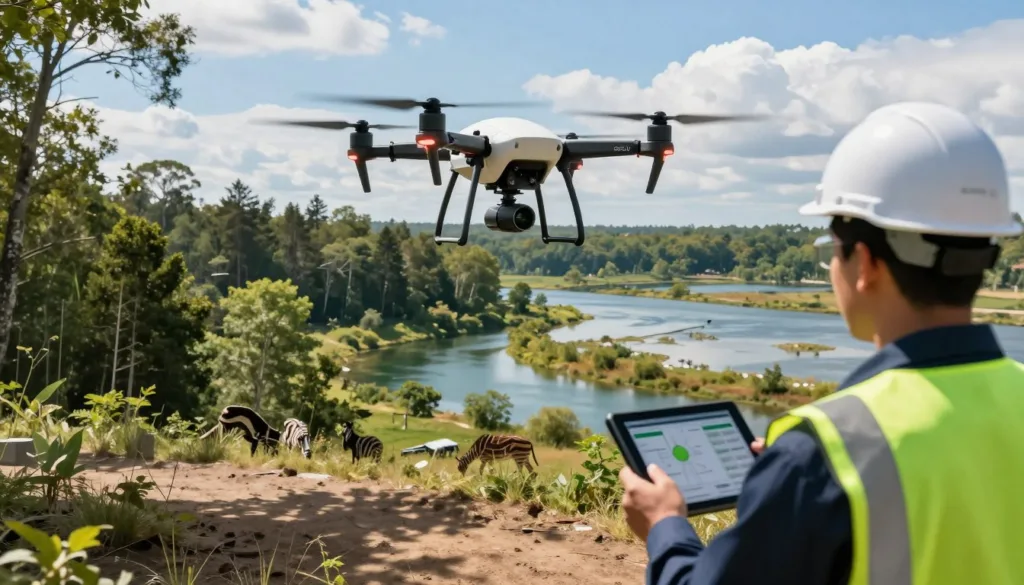
Live training near a polluted site, wildfire zone, or power line can expose people and equipment to needless danger. A simulation can recreate these areas without placing an aircraft, sensor, or crew member at risk. Teams can study high water, unstable terrain, industrial emissions, and restricted habitat from a safe training space.
Pilots can practice obstacle avoidance near towers, trees, bridges, and transmission lines. They can manage low battery warnings and lost data links during a planned route. Weather changes can add pressure, such as rising wind, heavy rain, or poor visibility.
Airspace rules and permit limits need attention during planning. A strong training program lets crews review launch zones, flight boundaries, return-to-home settings, and emergency landing areas. These drills make each decision more familiar before the aircraft reaches the work site.
An environmental survey simulation can support many mission types. Crews may map erosion, inspect wetlands, track shoreline change, or survey a damaged industrial area. Each exercise can use a clear objective, a defined route, and a set of data points that must be captured.
Lessons from VR-based drone inspection training
VR drone training teaches more than stick control. It places the pilot inside a visual mission with changing distance, height, speed, and risk. This helps pilots learn how small actions affect the aircraft, the sensor view, and the quality of the final data.
Training should include both normal flights and sudden problems. A pilot may lose a video feed while the aircraft nears an obstruction. A battery warning may appear before the route is complete. A VR exercise gives the crew time to practice a calm response without damaging equipment.
Analysts gain value from the same exercise. They can check image overlap, camera angle, thermal patterns, and missing areas in a survey. This shared view helps pilots understand why a smooth flight path matters to later analysis.
- Practice stable flight near sensitive features.
- Review sensor coverage before leaving the route.
- Respond to weather, battery, and signal alerts.
- Record clear handoffs between pilots and analysts.
Repeated practice can reveal weak points in a mission plan. A crew may find that a route leaves gaps near a steep slope. The team may need a better launch site or a shorter battery cycle. These lessons can improve drone flight safety before field work begins.
Training goals for pilots, analysts, and field teams
Pilots need control, judgment, and steady communication. Their training should cover takeoff, inspection passes, turns near obstacles, sensor checks, and safe recovery. It should reflect the aircraft and payload used for real environmental work.
Analysts need reliable data, not just attractive images. They should learn how flight speed, altitude, light, and camera angle affect results. An environmental inspection simulation can teach them to flag gaps, blur, glare, and poor image overlap.
Field teams need a shared plan. They may manage site access, wildlife concerns, public safety, equipment checks, and data storage. A clear briefing helps each person understand when to pause a mission and who can approve a change.
Useful training goals include:
- Complete a risk review before launch.
- Follow the planned route while watching for hazards.
- Protect people, wildlife, aircraft, and sensitive areas.
- Capture complete data for later review.
- Use clear radio calls during routine and emergency events.
When these skills work together, field readiness becomes measurable. Teams can assess route accuracy, response time, data quality, and communication after each exercise. A repeatable environmental survey simulation gives crews a stronger basis for safe, accurate inspection work.
How to design an environmental monitoring drone inspection simulation
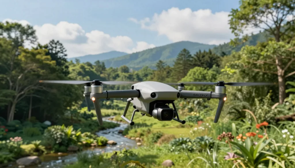
A strong simulation begins with a field problem, not a flight path. The team should define what must be measured, how accurate the result must be, and which evidence will support the report. An environmental monitoring drone simulation can test each decision before a pilot visits a shoreline, wetland, forest, or industrial site.
Use the SRIZFLY drone simulator to connect the mission plan with pilot actions, sensor limits, weather changes, and safety procedures. The training team can review flight logs, image quality, route errors, and emergency responses in one controlled setting.
Start with a clear environmental inspection question
Each scenario should begin with a measurable question. For example, a coastal team may ask, “Has this shoreline moved more than two feet since the last survey?” A wetland team may ask, “How many acres changed from open water to dry vegetation this season?”
The question sets the mission design. It guides the payload, flight route, altitude, image overlap, processing method, validation plan, and reporting format. A vague goal creates weak data, even when the drone flies without error.
- Shoreline erosion: Capture overlapping images from a repeatable altitude and compare the new surface model with an earlier survey.
- Methane detection: Use a gas sensor, record wind direction, and plan passes near tanks, pipes, vents, and suspected leak points.
- Wetland change: Map water boundaries and plant cover during matching tide, season, and weather conditions.
- Vegetation health: Collect calibrated spectral data and compare stressed areas with healthy control zones.
- Wildfire hotspots: Use thermal imaging to locate heat patterns and define a safe standoff distance from smoke and rising air.
- Pollution review: Inspect discharge points, surface stains, sediment movement, and nearby land use with clear sampling locations.
Set a pass standard before the exercise starts. The standard may include ground sample distance, map accuracy, sensor calibration, missed-area limits, or maximum route deviation. This gives instructors a fair way to score both the pilot and the data team.
Match drone sensors to environmental monitoring tasks
Sensor choice should reflect the question. A standard RGB camera can document visible damage, debris, and shoreline position. It may not reveal plant stress, heat loss, or changes beneath a tree canopy.
LiDAR drone mapping helps create detailed elevation models. It can support erosion studies, floodplain reviews, forest structure surveys, and corridor inspections. The simulation should include point density, scan angle, battery limits, and areas where trees or structures may block returns.
Multispectral drone imaging measures selected bands of light. It can help teams assess vegetation vigor, bare soil, water stress, and crop or habitat change. Drone sensor training should cover lens checks, radiometric targets, sun position, exposure settings, and correct data naming.
| Environmental task | Useful payload | Practice focus |
|---|---|---|
| Shoreline movement | RGB camera or LiDAR | Repeatable altitude, high overlap, and surface comparison | Vegetation health | Multispectral camera | Calibration, sun angle, band capture, and plant control areas | Wildfire heat review | Thermal camera | Heat signatures, smoke, wind shifts, and safe separation | Methane inspection | Gas detection payload | Wind-aware routes, sensor response time, and leak confirmation | Wetland elevation | LiDAR sensor | Ground returns, canopy coverage, and water-edge mapping |
Teach the crew to question sensor output. A bright thermal spot may be sun-heated metal rather than a fire. A low vegetation index may result from cloud cover, glare, or poor calibration. The simulation should include these limits without turning the exercise into a guessing game.
Build realistic flight and emergency scenarios
Environmental sites rarely offer perfect conditions. Add changing wind, uneven terrain, weak satellite signals, moving vehicles, birds, dust, smoke, and temporary flight restrictions. These details help pilots practice judgment instead of memorizing controls.
Automated drone routes can improve repeat surveys, yet each route needs a manual review. Instructors should test lost-link actions, low-battery returns, sensor failure, compass warnings, and sudden weather changes. A route that looks efficient on a map may cross trees, power lines, private property, or a protected area.
- Load the environmental question, site map, airspace limits, and mission accuracy target.
- Select the payload and set altitude, speed, image overlap, and sensor settings.
- Run the planned flight with normal weather and review the captured data.
- Introduce one hazard, such as a lost link, rising wind, blocked landing zone, or false sensor reading.
- Require the pilot to choose a safe action and document the reason in the mission log.
- Process the data and compare the output with marked control points or known field conditions.
Score the full team, not just the person holding the controller. Review route discipline, sensor handling, communication, emergency timing, data checks, and report quality. This approach makes the environmental monitoring drone simulation useful for pilots, analysts, field supervisors, and decision-makers.
Environmental drone inspection workflows, applications, and compliance
A strong training plan connects flight skills with field decisions. A pilot must know why the mission matters, how data will be collected, and what action may follow. A simulator such as SRIZFLY helps teams rehearse each stage before equipment enters a sensitive site.
Practice the complete drone inspection workflow
Every drone inspection workflow starts with mission planning. Teams define the study area, environmental question, flight path, sensor needs, weather limits, safety controls, and reporting format. These choices shape the flight plan and reduce wasted battery time.
Equipment setup comes next. Pilots inspect the aircraft, check batteries, test cameras, calibrate sensors, install payloads, and confirm secure data storage. A simulator can turn these steps into a repeatable checklist. It can train crews to spot missing settings before takeoff.
Flight practice should include launch, route changes, image capture, landing, and data transfer. Teams can rehearse low-battery alerts, weak signals, sudden wind, and lost GPS. Each exercise should record pilot actions, missed steps, and response time.
- Define the environmental question and survey limits.
- Build a route that protects people, wildlife, and equipment.
- Inspect the aircraft, batteries, payload, and storage system.
- Capture data with fixed settings and clear naming rules.
- Review flight logs, images, sensor readings, and safety events.
Apply simulations to habitat, wildlife, and industrial monitoring
Habitat surveys need careful flight planning. Habitat conservation drones can map wetlands, stream banks, nesting areas, and forest edges with limited ground disturbance. Simulation training helps crews maintain safe distance, control speed, and select a useful viewing angle.
Wildlife work demands extra care. Wildlife monitoring drones may support surveys of herd movement, nesting success, or habitat use. Pilots can practice higher flight paths, quiet approach routes, and short observation windows. These skills help reduce stress and protect normal animal behavior.
Industrial monitoring uses a different set of risks. Crews may inspect ponds, pipelines, solar fields, landfill slopes, or storage areas. Training scenarios can include reflective surfaces, tall structures, dust, heat, and signal loss. Analysts can learn to connect aerial images with inspection notes.
One simulation can support several roles. Pilots manage the aircraft. Field staff confirm site conditions. Analysts review images and sensor layers. Managers check whether the collected data answers the original environmental question. This shared practice improves handoffs across the team.
Validate environmental data and meet U.S. requirements
Environmental data validation starts before the flight. Teams should set image overlap, sensor settings, ground control needs, and acceptable weather ranges. They should document calibration checks and record the time, location, altitude, and payload used for each mission.
After the flight, reviewers compare images with flight logs and field notes. They check for gaps, blur, glare, poor exposure, sensor drift, and duplicate files. Clear file names and secure storage make later review easier. A second reviewer can confirm that the data supports the intended analysis.
U.S. operations must follow the right aviation rules. A remote pilot covered by FAA Part 107 needs proper certification and must understand airspace limits, visibility rules, operating restrictions, and remote identification duties. Site owners may impose stricter limits near people, roads, airports, or protected resources.
Training should cover permits, land access, privacy, wildlife protections, and emergency contacts. A simulator can test airspace checks and decision points without placing an aircraft at risk. It cannot replace current legal guidance or approval from the responsible authority.
| Mission stage | Practice focus | Quality check | Compliance record |
|---|---|---|---|
| Planning | Survey goal, route, weather, sensors, and safety limits | Question matches the planned data | Airspace review and site permission |
| Equipment setup | Aircraft, batteries, cameras, payloads, and storage | Calibration and function checks are complete | Preflight checklist and equipment log |
| Flight operations | Stable imaging, route control, and emergency response | Coverage, overlap, focus, and exposure meet the plan | FAA Part 107 procedures and flight record |
| Data review | File transfer, image screening, and sensor comparison | Gaps, errors, and unusual readings are marked | Secure storage and review history |
| Reporting | Maps, measurements, field notes, and clear findings | Results answer the environmental question | Mission documents support future audits |
Conclusion
Simulation training gives environmental drone teams a safer and more consistent way to prepare for field missions. It strengthens drone inspection safety by helping pilots practice flight risks, sensor use, weather changes, and emergency response before launch.
Well-designed exercises also connect pilots, analysts, researchers, maintenance crews, and supervisors. Together, they can follow one clear workflow, choose the right equipment, and collect accurate environmental data across habitats, wildlife areas, and industrial sites.
Digital twins can recreate real locations, while autonomous flight planning helps teams test routes and mission limits. After a flight, AI drone analytics can support faster review and help identify patterns that may require closer inspection.
With regular practice and validated scenarios, teams enter the field with greater confidence and control. Environmental drone simulation turns complex inspection plans into repeatable work that supports safer flights, stronger evidence, and better decisions.