Aerial Survey
Introduction
SRIZFLY drone simulator for aerial survey, mapping, and route design offers a comprehensive and realistic training environment. The simulator leverages advanced technologies to accurately replicate drone performance and control in various conditions. Users can engage in detailed survey missions, collecting high-resolution data and creating precise maps of the surveyed areas. Additionally, the system enables the design of survey routes, ensuring efficient coverage of target locations. This virtual platform provides an invaluable tool for mastering UAV operations, enhancing both efficiency and safety in real-world applications.
Application Scenario


site survey training
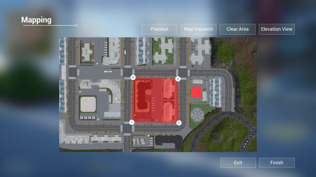
Through site survey training, we completed the primary aerial survey simulation tasks of "setting weather", "planning survey area" and "elevation checking" to lay a foundation for the subsequent precise measurement.

training image control point layout and measurement
Through this training, you can quickly become familiar with the very important point settings and operations in drone surveying. The srizfly simulator simulates the real surveying site to provide help for novices who need drone surveying.

route planning training
Through route planning training, students can become familiar with the automatic operation mode of drones, making geographic surveying and mapping work very efficient.
What are the benefits of using srizfly for aerial survey training?
Save training costs: In real-life drone training, equipment damage is easily caused by improper operation. Using the srizfly drone simulator avoids these expenses. Using the simulator for training allows aerial survey training to be conducted anytime and anywhere, without being affected by factors such as site, weather, and scheduling.
Improve work efficiency: By allowing trainees to repeatedly practice key tasks, more trainees can master various drone aerial survey skills.
Higher safety: Safely learn how to deal with various failures that occur during flight in the simulator, such as GPS signal loss, low battery, etc.
Quickly adapt to different scenarios: By simulating various weather conditions (such as strong winds and heavy rains) and terrains (such as mountains and forests), trainees can quickly master skills under different conditions.
…
Functions and features
Interactive Simulation Environment
The system employs a AAA level 3D engine, UE4, to create realistic training scenarios. It simulates the drone model and various scenes with vivid details, accurately replicating real environments based on Lidar data. To simulate environmental factors such as wind, ground effect reactions, and dynamic physical impacts, the system creates realistic application scenes that reproduce various flight conditions. It prepares users for the actual operation of diverse situations.


Immersive Flight Experience
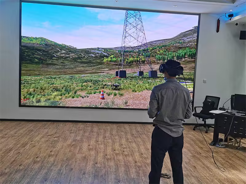
The system simulates the flight characteristics of a real UAV and controls it with a real UAV remote control, giving the user the same sensation as a real UAV operation. The system currently supports a wide range of commonly used UAV models. Additionally, it is compatible with mainstream VR headsets, providing an immersive training experience.


Aerial modeling
Manual simulation of field flight to complete data collection, support high-rise building QR code identification inspection, chemical equipment nameplate automatic scanning recognition, support third-party modeling software for three-dimensional modeling of foreign industry photos


