



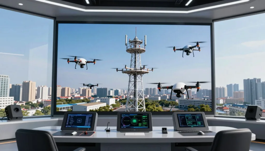
Drone tower inspection simulation training gives pilots a controlled way to practice telecom infrastructure missions before flying near real towers, antennas, platforms, ladders, and guy wires. The SRIZFLY drone simulator helps pilots build these skills without risking a high-value drone or damaging tower equipment.
Tower inspection is a specialized commercial service. Pilots must manage flight control, route planning, camera operation, obstacle awareness, and emergency response. They also work around strong winds, limited visibility, radio-frequency equipment, tall structures, and complex airspace conditions.
With SRIZFLY, pilots can repeat realistic missions and make better decisions under pressure. Simulation practice can prepare them to inspect tower legs, antennas, platforms, cables, and connection points while keeping a safe distance from the structure.
Drone tower inspections can help companies complete assessments faster and reduce unnecessary climbs. A drone collects detailed visual information for maintenance planning while qualified teams remain on the ground during the initial review.
Drones do not repair towers or replace qualified climbers, rescue personnel, engineers, or maintenance crews. They provide aerial intelligence that helps teams understand site conditions before people access the structure.
A complete training program may combine online instruction, simulator practice, live virtual classes, supervised flight, data collection assignments, and post-production reviews. Resources from the National Association of Tower Erectors, the Federal Aviation Administration, Technical Rescue Systems, and DARTdrones can add useful industry context. FAA guidance is available at faa.gov/uas.
A training certificate confirms that instruction was completed. It does not replace legal authorization. In the United States, commercial drone work generally requires compliance with current FAA rules, including Part 107 requirements when applicable.
Key Takeaways
- Simulation lets pilots practice tower missions in a controlled setting.
- SRIZFLY supports flight control, route planning, camera use, and emergency response training.
- Realistic scenarios help pilots prepare for wind, obstacles, antennas, and complex structures.
- Drones collect aerial data but do not replace tower crews or engineering teams.
- Inspection training supports safer decisions and more useful maintenance reports.
- A certificate does not replace FAA authorization or current Part 107 compliance.
Why Drone Tower Inspection Simulation Training Improves Safety and Inspection Skills
Drone tower inspection simulation training gives pilots a safe way to build skill before live work begins. A simulator such as SRIZFLY can repeat close approaches, vertical climbs, structure tracking, camera alignment, and return-to-home decisions without risking a drone, tower parts, vehicles, or people on the ground.
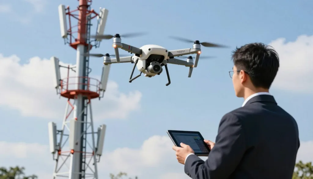
Hard maneuvers become easier to study in a controlled setting. A pilot can repeat a tight turn near a tower, test a slow climb beside a steel frame, or practice a smooth camera pass. Each attempt creates a chance to spot unsafe habits before they affect a real inspection.
New pilots need time to learn how an aircraft reacts to wind, GPS changes, control inputs, and shifts in altitude. An instructor can watch each flight and correct poor spacing, fast turns, weak scan habits, or late decisions. This feedback helps pilots build steady control and sound judgment.
Simulator time is a significant learning opportunity. It allows pilots to learn without the risk of an expensive crash. Earlier drone systems could cost about $3,000 to $10,000. Controlled practice can protect that investment while reducing damage to tower equipment and nearby property.
Guy lines create a serious flight risk. Thin wires can blend into the background or vanish in glare. Simulation practice helps pilots identify anchor points, map a safe route, and keep a proper buffer from each line. The exercise can include missed wires, poor angles, and changing views from the pilot station.
Tower components create tight and confusing spaces. Antennas, ladders, platforms, braces, mounts, and cables can block the aircraft or the pilot’s view. A simulator can train pilots to track the full structure, not just the area shown on the screen. This skill supports safer camera work near complex tower sections.
Strong winds can cause drift, unstable flight, and sudden changes in position. Pilots can practice reading aircraft movement and deciding when to leave the inspection path. A safe mission may require a wider route, a lower exposure time, or an immediate return to the launch area.
Poor visibility adds another layer of risk. Haze, fog, glare, and shaded tower sections can weaken visual contact. Simulation can model these conditions and test a pilot’s ability to maintain orientation. If the tower blocks the view of the aircraft, the pilot must use a safe response instead of relying only on the first-person video feed.
Electromagnetic interference deserves close attention at communication sites. Radio-frequency environments and metal tower structures may affect transmission, telemetry, or the first-person video feed. Training can expose pilots to weak signals and delayed information. These drills support earlier action when aircraft control or data quality starts to decline.
Each practice mission should follow a real preflight process. The pilot should inspect the drone, check the battery, review firmware and controls, assess weather, review airspace, survey the site, plan the route, prepare an emergency plan, and set a communication plan. Repeating these steps makes preparation part of the flight skill.
A site job briefing should be part of every training event. The team should discuss the inspection objective, tower type, expected hazards, launch and recovery area, nearby people and vehicles, visual observer duties, communication signals, and emergency landing locations. This briefing gives every person a clear role before the motors start.
Visual line of sight remains a core safety requirement. A visual observer can help monitor the aircraft, tower, wires, vehicles, and people. The remote pilot in command remains responsible for the operation. The crew must follow current FAA rules for maintaining visual contact and managing the flight.
Emergency drills help pilots respond with less delay. A simulator can create lost-link events, weak transmission, GPS failure, connectivity problems, low battery warnings, unstable flight, unexpected wind, obstacle alerts, and a blocked view of the drone. Each event should include a clear action, a safe flight path, and a decision to land or return when needed.
Training should reflect the missions pilots will perform at tower sites. Routine tower inspections support recurring maintenance. Pre-work flights document conditions before climbers or repair crews begin. Storm and extreme-weather assessments can reveal bent members, damaged mounts, displaced antennas, or unsafe access points.
Hazard analysis missions can focus on structural damage, bird nests, exposed components, access problems, and unsafe conditions. The pilot must frame each item with enough detail for a client to act. A useful inspection record shows the location, severity, and priority of a condition.
The purpose of a flight is not simply to record video. Pilots must collect accurate, actionable aerial intelligence. That means choosing useful angles, holding a steady position, keeping the subject in focus, and recording details that support maintenance, repair, or access decisions.
Clear communication supports safe tower work. Pilots may coordinate with tower climbers, maintenance crews, rescue teams, visual observers, site owners, utility companies, cellular providers, and clients. Basic tower terminology helps the crew discuss climbing paths, ladders, structural members, antennas, platforms, and access requirements.
Technical Rescue Systems training practices include tower site safety, job safety analysis, signage, RF hazards, tower terminology, climbing paths, and ladder-climbing safety systems. These topics show why drone inspection training must cover the full worksite, not flight controls alone.
A comprehensive format may include a 20-hour interactive online UAS tower and structure inspection course. Such a course can use real inspection photos, videos, aircraft examples, camera demonstrations, equipment screenshots, group discussions, reviews, question-and-answer sessions, and a written final exam. This format is one example of structured preparation, not a universal requirement.
Simulation gives instructors a clear view of how pilots manage risk, gather evidence, and communicate under pressure. Repeated practice builds habits that support safer tower inspections and more useful reports when the aircraft enters a live worksite.
Drone Tower Inspection Simulation Scenarios, Flight Skills, and Site Hazards
Effective drone tower inspection simulation training should reflect the structures pilots see in the field. A communications tower demands different flight paths than a transmission tower. Guyed towers, monopoles, and lattice towers bring distinct risks. Platforms, ladders, braces, mounts, antennas, and climbing paths can block the camera or hide thin wires.
Each exercise should begin with a complete preflight check. The pilot confirms aircraft readiness, battery health, firmware status, propeller condition, controller function, and payload settings. The mission briefing covers the route, airspace, weather, visibility, wind, nearby aircraft, and possible public exposure.
The pilot must select a safe launch and recovery area before the aircraft leaves the ground. The site review should identify trees, vehicles, power lines, guy wires, buildings, roads, and people. A simulator such as SRIZFLY can place these hazards around the tower, which helps pilots practice site control before working at an active facility.
A repeatable inspection pattern is central to good data collection. Pilots can practice measured vertical passes, horizontal sweeps, controlled approaches, and circular orbits when the structure permits them. Each route should follow a clear elevation, face, component, or work-zone plan.
Controlled distance matters during every pass. The pilot holds a stable position without drifting toward antennas, braces, or guy lines. The aircraft must stay within applicable altitude and operating limits. A return route should remain open, with enough battery reserve for a safe recovery.
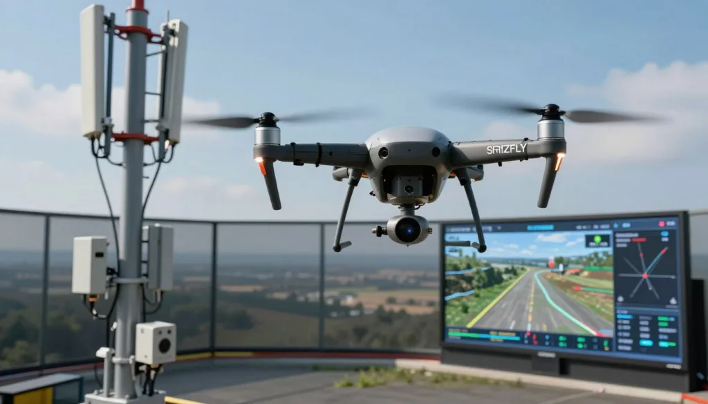
Training should teach pilots to “fly the camera,” not just the aircraft. Still images and video require careful choices for exposure, focus, shutter speed, frame rate, and image sharpness. Glare, harsh sunlight, shade, and low light can hide corrosion or make a clean component look damaged.
Close visual review, site overview, storm-damage assessment, thermal work, and photogrammetry each need a different setup. A close inspection may call for a slower approach and a tighter frame. A broad overview needs more distance and a wider view. The simulator can make pilots switch between these objectives during one mission.
Clear images should reveal corrosion, loose hardware, damaged members, antenna conditions, cable problems, mounts, and other visible defects. Camera angle matters. The lens should face the target squarely when possible. Multiple angles help confirm the condition and create a consistent record for later review.
Commercial operators must understand the current FAA rules before flying for payment or business use. FAA Part 107 is required for commercial drone operations, subject to current FAA rules and exceptions. A person may complete some tower inspection coursework without holding a Part 107 certificate. Course completion does not authorize commercial flight.
Simulation missions can include remote pilot duties covered by Part 107. These duties include qualification, preflight planning, aircraft inspection, weather review, visual line of sight, airspace compliance, crew coordination, and operational limits. Pilots should practice accident and incident procedures when those procedures apply.
Airspace review must take place before launch. Controlled or restricted airspace may require authorization. The pilot should review the area, submit the required request when needed, and confirm approval before operating. A tower’s location does not remove airspace restrictions.
FAA rules may permit a drone to fly above the general 400-foot limit when it remains within the applicable distance of a structure. That allowance does not remove other requirements. The pilot must follow current FAA conditions, airspace limits, visual line of sight rules, and all other applicable operating rules.
Weather exercises should include wind speed and gusts at ground level and near the planned operating height. Visibility, clouds, fog, haze, rain, glare, and low-light conditions can change the risk. Nearby aircraft activity, radio-frequency conditions, electromagnetic interference, physical obstructions, and public access belong in the site briefing.
The simulator should model weak transmission signals, GPS loss, connectivity problems, low battery warnings, unstable flight, and sudden wind. Pilots can practice holding position, changing to a suitable flight mode, following the aircraft’s lost-link procedure, and regaining control. They should know when to reposition, when to continue, and when to end the mission.
Lost-link training should include a safe return or landing. The pilot must understand the aircraft’s programmed response and confirm that the route will not cross the tower. Each event should be recorded for review. A realistic exercise can test whether the pilot notices the warning early enough to protect the aircraft and the inspection data.
Obstacle alerts need careful review. A tower can block the pilot’s view even when the aircraft remains stable. Guy lines may be hard for a person and an automated obstacle system to detect. Braces, antennas, cables, and mounts can create narrow passages that demand slow, deliberate control.
Obstacle avoidance, GPS stabilization, safe modes, and connectivity systems are backup tools. They cannot detect every wire or structural obstruction. The remote pilot remains responsible for judgment, control, route selection, and the decision to stop the flight.
Visual observer drills add another layer of realism. The observer can watch the aircraft, tower, nearby airspace, and obstacles while reporting changes to the remote pilot. Communication should stay direct and specific. The remote pilot in command remains responsible for required visual contact and operational decisions.
The curriculum used by Technical Rescue Systems can guide these scenarios. Its inspection focus connects tower types, components, hazards, terminology, flight reviews, flight checks, procedures, documentation, video data, and post-production organization. A simulator can turn each topic into a measured flight task with a clear review record.
DARTdrones provides an example of applied learning through its live virtual aerial inspection model. Its workshop format may include live instruction, virtual inspection data collection assignments, expert feedback, recordings, and analysis of collected datasets. Dates, prices, and prerequisites should be checked before enrollment because course offerings can change.
These exercises give pilots a controlled way to repeat complex tower missions. They can refine flight paths, camera control, crew communication, and hazard responses before conducting an inspection near an active structure.
From Simulation to Professional Drone Tower Inspection Reporting
Professional drone tower inspection starts with controlled practice. A simulator such as the SRIZFLY drone simulator helps pilots learn aircraft controls, camera movement, flight paths, and inspection concepts without placing people or equipment at risk. Practice should cover takeoff, landing, hovering, orbiting, climb rates, return-to-home settings, and image framing.
The recommended path moves from virtual skills to supervised field work. Pilots should first complete live flights in an open training area with a qualified instructor. This stage builds control habits in real wind and changing light. It gives the pilot time to manage batteries, signal strength, aircraft position, and emergency procedures.
Training can progress to flights near structures under qualified instruction. Towers, rooftops, poles, and support systems create new risks. Pilots must learn how to hold a safe distance, maintain visual awareness, and avoid sudden movements near metal surfaces. Thin guy wires can remain hard to detect, even when an aircraft has obstacle sensors.
Before a paid inspection, the crew should complete an onsite assessment and job briefing. The briefing should cover the tower height, access points, nearby roads, power lines, weather, public areas, airspace, emergency landing zones, and communication roles. A clear plan helps the pilot focus on the inspection task rather than solve basic site problems during flight.
Standardized tower inspection missions create repeatable results. A mission plan may include an exterior overview, antenna passes, lighting equipment, cable routes, mounting hardware, bolts, brackets, platforms, and base structures. Each pass should use a known direction, distance, speed, and camera angle when site conditions permit.
Aircraft selection affects the quality of every inspection. GPS-assisted stabilization can help the drone hold position during long passes. The aircraft needs enough power for high-altitude winds, especially near exposed tower sections. Stable flight supports sharper images and reduces the need for repeated passes.
Obstacle avoidance sensors can support safer navigation near structures. They do not replace pilot judgment. Thin guy wires, narrow cables, and dark components may remain difficult for sensors to recognize. A trained pilot must understand sensor limits and keep a safe flight path.
Battery capacity matters during demanding missions. A flight time of 30 minutes or more may be useful, yet one battery may not cover a full tower. Pilots should plan for several flights, wind changes, reserve power, landing time, and safe recovery. Battery condition checks should be part of every preflight process.
Reliable transmission is vital when the aircraft moves around a tall structure. The control system must manage distance, structural interference, electromagnetic interference, and physical signal blockage. Pilots should know where signal loss may occur and maintain a recovery plan before starting an inspection pass.
Interchangeable payloads can extend the value of one aircraft platform. A visual camera may support routine documentation. Thermal cameras can show heat patterns that point to possible equipment concerns. LiDAR can capture dimensions and structural form. A modular system can support different inspection needs without replacing the complete aircraft.
Tower height changes the timing of a mission. Some towers exceed 1,000 feet. A drone may spend two to three minutes gaining altitude before it reaches the first inspection point. That climb reduces the time available for data collection and may increase battery use.
Flight planning should account for ascent, inspection passes, descent, wind, battery reserves, and recovery. The plan should identify which components receive priority when weather or power limits shorten the flight. A pilot can collect better data by following a clear order rather than moving between tower sections without a set pattern.
High-resolution still cameras capture detailed views of cracks, corrosion, loose hardware, damaged paint, cable wear, and component labels. Still images are useful for reports because each frame can show a specific condition. The pilot should capture wide context images before moving closer to individual parts.
Video provides continuous visual context. It can show the path around a tower section and reveal movement that a single image may miss. Video files can be large, so the crew should set a clear recording plan and preserve important clips with useful time references.
Thermal imaging can identify heat patterns linked to electrical or mechanical concerns. A thermal image needs careful review because sunlight, wind, surface color, and reflections can affect readings. Thermal data works best when the report explains the observed pattern and its limits.
LiDAR supports dimensional capture and structural documentation. Photogrammetry uses overlapping images to create measurable data from a series of views. These methods can support clearance checks, component measurements, and records of changes between inspection dates.
Two-dimensional mapping and orthomosaic products provide a broad view of a site. Three-dimensional models let teams rotate, measure, and review tower sections from different angles. Software such as Pix4D, DroneDeploy, Agisoft Metashape, and RealityCapture can support mapping, photogrammetry, or model production. The best choice depends on the sensor, data volume, accuracy needs, and reporting format.
After landing, the work shifts from flight control to data management. Pilots should transfer files from the aircraft and memory cards, preserve original media, and organize images by site, tower level, and component. A clear folder structure helps inspectors locate evidence months after the flight.
Data should be backed up before editing begins. The crew should review image quality, check focus, confirm exposure, and flag damaged or missing areas. Gaps in coverage should be recorded while the mission details are still fresh. Mapping and modeling datasets can be processed after the original files are secured.
Report writing turns captured media into usable maintenance information. A client-ready report should identify the inspected asset, date, crew, aircraft, payload, weather, flight limits, and areas covered. Each observation should connect to clear images, video time markers, thermal views, measurements, or model locations.
Recording footage is only the beginning. Maintenance teams need clear observations that support decisions about monitoring, repair, replacement, or further testing. A strong drone tower inspection report presents evidence in a simple format, separates observed conditions from assumptions, and gives each issue a traceable location.
Conclusion
Drone tower inspection simulation training helps pilots build safer flight habits before they work around live telecom infrastructure. With repeated practice, pilots can improve camera control, follow inspection routes, manage guy wires, antennas, ladders, platforms, and tower components, and respond to signal loss, wind, poor visibility, or RF interference without crashing a costly aircraft.
Strong training also improves teamwork. Pilots learn to coordinate with visual observers, climbers, maintenance teams, and clients while collecting clear, consistent imagery. Drones can make inspections faster, safer, and more cost-effective. They can reduce unnecessary tower climbs and help maintenance teams plan work before sending qualified climbers to height.
Still, drones do not complete repairs or replace trained tower personnel. Structural repairs, hands-on maintenance, rescue work, and engineering decisions require qualified professionals and, when needed, an onsite inspection. A complete training path should combine SRIZFLY or a comparable simulator, live instruction, supervised flights, FAA Part 107 preparation, preflight planning, visual line-of-sight procedures, hazard control, emergency response, sensor operation, data processing, and professional reporting.
When comparing providers, review instructor experience, tower industry knowledge, aviation credentials, simulator realism, live-flight access, inspection assignments, software training, reporting feedback, and post-course support. Evaluate a realistic SRIZFLY drone simulator program, compare it with a live virtual aerial inspections workshop, or contact a qualified provider to build a safer telecom inspection service. Before commercial work begins, verify current FAA rules, course dates, prices, certification terms, airspace requirements, and each client’s standards.