



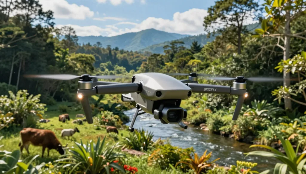
Environmental monitoring drones help teams observe places that are hard, risky, or costly to reach. These aircraft support habitat mapping, vegetation checks, shoreline studies, wildlife surveys, and water monitoring across the United States.
The drone provides access and mobility, while its camera or sensor collects the needed data. RGB, thermal, LiDAR, multispectral, gas, and water sampling systems can reveal changes that may be missed from the ground.
In a realistic environmental survey simulation, teams can plan routes, test sensors, and respond to changing conditions before a live mission. This process strengthens drone inspection training and improves safety, data quality, and field decisions.
Effective UAV inspection planning also limits human exposure to pollution, unstable terrain, extreme heat, and other hazards. Xer develops heavy-duty multirotor drones for commercial, industrial, public safety, infrastructure inspection, and drone environmental monitoring missions.
Key Takeaways
- Drones collect detailed environmental data from difficult locations.
- Different sensors support mapping, thermal checks, air testing, and water sampling.
- Simulation helps teams practice routes, safety steps, and sensor use.
- Training can improve data accuracy and reduce field risks.
- UAV inspection planning supports faster and more informed environmental decisions.
Environmental Monitoring Drone Inspection Simulation: Purpose and Benefits
An environmental monitoring drone inspection simulation gives teams a safe place to practice before entering the field. Crews can test drone mission planning, flight paths, altitude settings, sensor choices, and emergency steps without exposing people or equipment to avoidable risks.
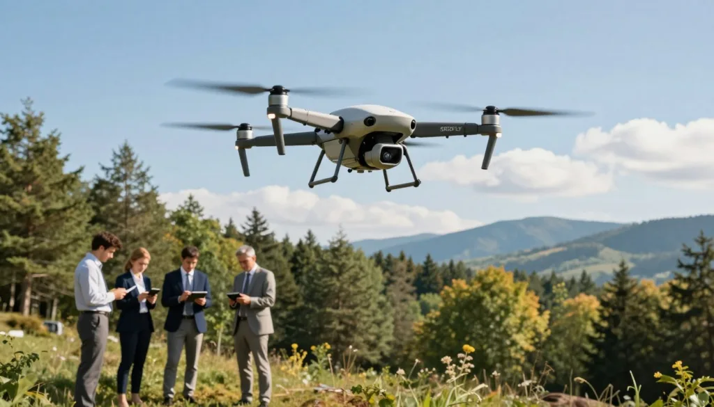
Training supports safer drone operations near high water, wildfire zones, unstable ground, industrial emissions, and contaminated sites. Teams can rehearse obstacle avoidance, battery limits, weather changes, airspace rules, permits, and lost data links before a live flight.
Simulations strengthen habitat monitoring by using the same flight altitude, image overlap, speed, camera angle, ground sampling distance, season, and time of day. These controls support repeatable drone surveys that track vegetation, wildlife, shoreline movement, habitat fragmentation, and surface temperatures over time.
Clear practice improves pilot analyst coordination. Pilots, analysts, field researchers, and maintenance crews can review flight plans, sensor needs, data checks, and equipment tasks before launch. Each person understands the timing and purpose of the inspection.
Drones can reach large or difficult areas in hours instead of days or weeks. They may reduce the need for scaffolding, cranes, trucks, helicopters, and heavy equipment. This approach can limit downtime, equipment damage, and human exposure near power lines, unstable structures, and inaccessible habitat.
How to Design a Drone Inspection Simulation for Environmental Monitoring
Start with a clear environmental question. Is a shoreline eroding, where is methane escaping, or has a wetland changed in size? The question guides the payload, flight path, processing method, and final report.
Strong environmental drone simulation design matches each task with the right sensor. RGB cameras support site records, orthomosaic maps, shoreline surveys, wetland studies, erosion checks, and visible pollution reviews.
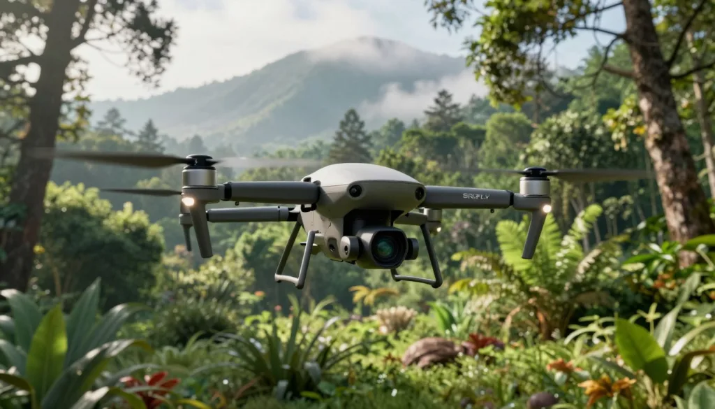
Thermal cameras show surface temperature patterns. They can reveal wildlife, groundwater inflows, wildfire hot spots, and unusual heat from industrial equipment. Gas sensors support methane checks, smoke studies, and pollution plume mapping.
Good sensor selection depends on the target and the site. LiDAR mapping uses laser pulses to build three-dimensional models of terrain and plants. It supports floodplain surveys, forest structure analysis, landslide checks, and terrain models beneath sparse vegetation.
Multispectral drone data measures reflected light beyond the visible range. This information helps assess plant health, map invasive species, review habitat restoration, and compare seasonal changes. Water sampling systems can collect material for tests of nutrients, bacteria, metals, and chemical pollutants.
Build each exercise around repeatable flight planning. Test drone endurance, position accuracy, automated routes, image overlap, ground control, weather, airflow, and payload fit. Set clear limits for wind, rain, battery use, and safe return points.
Postflight work should mirror real field duties. Teams can create orthomosaics, elevation models, LiDAR point clouds, vegetation indices, thermal maps, wildlife counts, and GIS comparisons. Sensor checks and quality reviews help staff spot missing data or weak measurements.
Training works best when duties are clear. Pilots manage safety, aircraft control, and flight records. Analysts manage processing, storage, validation, and reporting. Written procedures should cover data retention, field notes, equipment checks, and decisions based on inspection results.
Environmental Monitoring Drone Inspection Workflows, Applications, and Compliance
A clear drone inspection workflow starts with mission planning. Teams define the study area, flight paths, sensor needs, weather limits, and safety controls. Equipment setup follows with battery checks, camera checks, calibration, and secure data storage.
Data collection may include aerial images, video, thermal readings, gas measurements, or physical samples. Overlapping images can produce orthomosaics, elevation models, point clouds, and three-dimensional maps. Remote sensors can measure heat, reflected light, distance, gases, and airborne particles.
Field teams use habitat conservation drones to map habitat edges, measure plant cover, find invasive species, and track restoration work. These flights can support wetland surveys, shoreline studies, erosion checks, flood mapping, and mine reclamation.
Wildlife surveys may estimate animal populations, monitor nests, or record behavior from a safe distance. Flight plans should limit noise, avoid sensitive periods, and protect nesting areas. Teams can use the same approach for dune movement, landslides, sediment shifts, and burned landscapes.
Drone inspections serve many industrial needs. Common uses include oil spill records, water sampling, methane detection, wildfire smoke sampling, power line surveys, solar panel checks, pipeline monitoring, and wind turbine assessments. Crews can inspect bridges, tunnels, buildings, offshore rigs, and mine stockpiles without sending workers into unsafe areas.
Data processing turns raw files into maps, measurements, and reports. Analysts compare images over time to track damage, vegetation change, erosion, or recovery. Field validation remains important because sunlight, weather, plant cover, surface texture, airflow, sensor position, and calibration can change results.
Each simulation should include review, validation, reporting, and a clear action plan. Teams should record flight details, sensor settings, processing steps, field notes, and storage controls. This record supports environmental compliance when agencies, landowners, or project partners review the work.
In the United States, commercial operators must follow FAA Part 107 rules for pilot certification, altitude limits, and airspace use. A project may require aircraft registration, permits, insurance, privacy controls, and secure handling of sensitive wildlife or infrastructure data. Simulations should include preflight checks, regulatory approvals, third-party risks, and emergency procedures.
Conclusion
Environmental monitoring drone inspection simulation connects safer training with reliable data collection. Each flight should answer a clear environmental question, measure a useful result, and support a defined decision. This approach helps teams act with confidence while reducing risk in the field.
Modern environmental inspection technology can detect cracks, corrosion, heat changes, and shifts in vegetation. AI drone analytics can compare new images with past results and known benchmarks. These insights help teams plan maintenance, investigate pollution, document compliance, and identify when field sampling is still needed.
When drone data links with Internet of Things systems and digital twins, teams can track assets and model changing conditions in near real time. Tools such as LiDAR, hyperspectral imaging, edge computing, and autonomous flight planning can improve coverage and response speed.
With a validated workflow, drone inspections support sustainable asset management with less downtime, lower emissions, and fewer hazards than many truck, helicopter, or heavy equipment methods. They also give environmental teams stronger evidence for habitat restoration, disaster response, and long-term stewardship.