



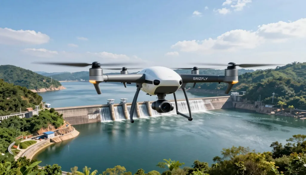
Reservoir Inspection UAV Simulation helps teams prepare for difficult flights before crews arrive on site. With the SRIZFLY drone simulator, pilots can practice routes, camera views, close approaches, and safe return steps in a controlled setting.
Dams and reservoirs need close review, yet their steep walls, spillways, and limited access can raise risk. Effective reservoir drone inspection starts with practice, clear roles, and a plan built for the real structure.
The 2017 American Society of Civil Engineers Infrastructure Report Card counted 90,580 dams in the United States. Their average age was 56 years, and 17 percent had high hazard potential. These facts make dam inspection safety a daily concern for public agencies and asset owners.
FEMA dam safety guidance calls for formal inspections at least every five years, along with other checks when conditions require them. The Maryland Department of the Environment also advises inspections after extreme rainfall. A trained UAV crew can support these efforts with safer access to hard-to-reach areas.
Strong UAV pilot training lets crews rehearse hazards before flight. Pilots can test wind limits near a steep face, adjust for changing light, and practice a response to low battery or lost positioning. Visual observers and engineers can review the same scenario and agree on stop points.
Good drone mission planning also reflects the full site. Teams should account for intake towers, power lines, trees, narrow launch zones, spillways, and emergency landing areas. They should record aircraft roles, sensor settings, radio calls, weather limits, and escalation steps.
A simulation-first process gives every team member a shared view of the mission. It reduces surprises, supports better decisions, and helps crews collect useful inspection data without taking avoidable risks.
Key Takeaways
- Practice planned reservoir flights before deploying an aircraft.
- Use realistic site hazards during simulator sessions.
- Set clear weather, battery, and positioning limits.
- Train pilots and visual observers as one mission team.
- Document sensor settings, flight roles, and emergency actions.
- Use simulation to strengthen safety before live data collection.
Why Reservoir Inspections Need Safer, More Efficient Methods
Reservoir asset inspection requires close review of dam walls, spillways, gates, drains, slopes, and the nearby watershed. Many of these areas are hard to reach from the ground. Crews may need lifts, ropes, boats, or confined-space access to complete a dam safety inspection.
These methods can place inspectors near deep water, steep concrete faces, and active equipment. They also require time, trained staff, and careful site controls. For some operators, major inspection work can take a large share of the annual reservoir maintenance budget.
Visual checks remain a key part of critical infrastructure monitoring, yet standard photos may not show the full location or scale of a defect. A single image can be hard to compare with past records when it lacks map data, distance, or a clear view of the surrounding structure.
Concrete can change over time due to weather, chemical exposure, alkali-aggregate reaction, and freeze-thaw cycles. Inspectors may also use tools such as Impact Echo, Spectral Analysis of Surface Waves, and Ultrasonic Pulse Velocity to examine concrete from accessible areas.
- Impact Echo can help measure member thickness and estimate crack or flaw depth.
- Surface wave analysis can help assess shallow damage caused by freeze-thaw stress.
- Ultrasonic testing can help identify internal cracking and signs of concrete decline.
UAV infrastructure inspection adds a safer way to collect detailed images from stand-off distances. A drone can document high walls, narrow channels, and steep slopes without sending a worker into every risky location. Strong drone inspection safety practices still require clear limits for flight paths, weather, batteries, and people on site.
Each mission starts with a site assessment. Teams review obstacles, restricted airspace, wind conditions, asset records, past reports, and operational limits. They then set routes, sensor angles, safety buffers, and capture settings to support repeatable critical infrastructure monitoring.
Consistent flight planning helps create records that engineers can compare over time. It also gives reservoir maintenance teams a clearer view of surface changes, drainage areas, joints, and other assets that need close attention.
Reservoir Inspection UAV Simulation for Mission Safety and Readiness
Effective UAV simulation training should match the full field sequence, from launch checks to a safe landing. A reservoir UAV mission often combines automated waypoint routes with close manual work near gates, spillways, outlet works, and retaining walls.
The SRIZFLY flight simulator lets crews rehearse those flight paths before equipment reaches the site. Automated routes support steady altitude, speed, and image overlap, while manual practice prepares pilots for tight spaces and sudden changes.
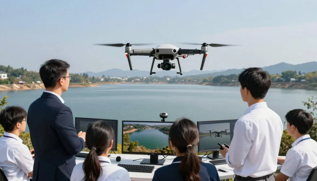
An inspection flight rehearsal should include wind gusts, hard shadows, low light, and unexpected obstacles. Pilots can practice adjusting the camera angle, changing position, and ending a run when image quality drops.
Brighton Dam in Brookeville, Maryland, shows why site conditions matter. The concrete gravity dam, operated by the Washington Suburban Sanitary Commission, entered service in 1944 and requires careful planning around weather, airspace, and structure clearance.
Cold temperatures can reduce battery performance, especially below 5 degrees Celsius. Rain, snow, strong winds, and bright sun can also affect flight safety and photogrammetry results.
Drone emergency planning should cover lost link events, battery reserve limits, obstacle avoidance, abort points, and alternate landing areas. Crews should also review airspace status, aircraft condition, sensor balance, gimbal movement, communications, and safe separation from the structure.
Clear roles strengthen drone pilot readiness during complex inspections. The remote pilot, camera operator, visual observer, safety lead, and engineering contact should know who can pause or stop the operation when conditions change.
Simulation gives teams time to build calm responses before working near water, concrete walls, or public areas. Each drill can focus on safe control choices while protecting personnel, the asset, and the inspection data.
UAV Data Collection and 3D Modeling for Reservoir Asset Management
UAV photogrammetry turns field images into a repeatable record of reservoir assets. High-resolution RGB cameras capture visible cracks, rust, loose fittings, damaged coatings, and missing hardware. Each flight adds dated evidence that engineers can review beside earlier inspection records.
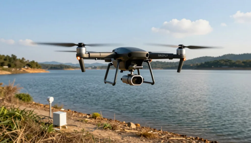
Careful drone mapping starts with a clear flight plan, steady camera settings, and enough image overlap. More than 80 percent overlap between nearby photos helps limit gaps and supports sharp surface detail. Teams should also set safe stand-off distances around gates, spillways, towers, and steep dam faces.
Thermal drone inspection adds another layer of asset data during the same mission. Infrared views can flag unusual heat near electrical gear, wet insulation, friction points, and areas with possible moisture entry. When crews pair EO and infrared payloads, they can compare visible conditions with thermal patterns in one review set.
LiDAR inspection produces dense spatial data for surfaces that are hard to measure by eye. A dam point cloud can support clearance checks, deformation review, and vegetation encroachment checks near critical structures. It also gives engineers a measured view of slopes, walls, access roads, and drainage features.
After landing, teams should sort images, thermal files, and scan data before processing begins. Duplicate frames, blurred images, and distorted readings can weaken the final dataset. Processing software then aligns the records, applies calibration data, and builds a reliable reservoir 3D model for review.
Brighton Dam showed how a detailed collection plan can support long-term records. Researchers used a fixed-wing aircraft, DJI Inspire 1 aircraft, and a DJI Phantom 4 Pro to collect nadir and oblique images at separate inspection times. Their plan included close-range work at Bay 5, along with broad coverage of the dam and its surrounding area.
The fixed-wing mission used a 24.3-megapixel Sony Alpha 5100 camera and covered 174,502 square meters from 75 meters above the site. The mission captured 558 nadir images during a 26-minute flight. This type of organized archive helps maintenance teams track changes, plan repairs, and prepare clear records for engineering review.
Conclusion
This Reservoir Inspection UAV Simulation Guide shows how safer practice and disciplined data work together. SRIZFLY drone training lets crews rehearse routes, close-structure moves, weather calls, sensor use, and emergency actions before launch. That preparation helps reduce risk around water, steep slopes, and critical dam structures.
A strong reservoir inspection program starts with a site review, clear safety buffers, preflight checks, and crew communication. Automated flights provide repeatable mapping, while manual flights allow close review in tight or complex areas. Both methods support reliable drone inspection reporting when pilots follow the same mission standards.
Images, thermal scans, LiDAR, orthomosaics, and 3D point clouds give teams a fuller record of reservoir condition. Research at Brighton Dam found that coordinated photogrammetry can reveal small defects at near-millimeter scale. For sound UAV asset management, retain each dataset with flight details, weather notes, sensor settings, findings, and repair decisions.
Use this record to guide dam maintenance planning and speed reviews after heavy rain or other major events. Build training around the hazards at each reservoir, then confirm live missions with qualified pilots and engineering oversight. When drone data leads to clear maintenance action, inspections become safer, faster, and more useful over time.