



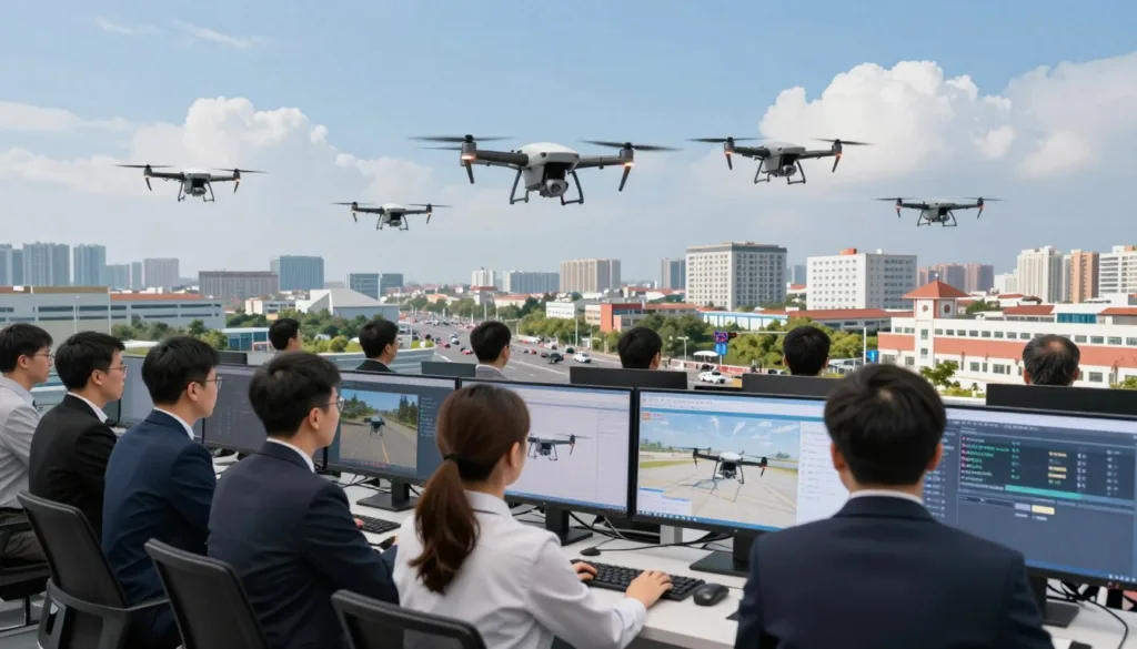
Modern public safety agencies face increasing pressure to manage road congestion and incident response efficiently. Adopting advanced aerial technology is no longer optional for departments aiming to improve public safety. UAV Traffic Patrol Simulation Training offers a secure way to master these complex systems before they hit the streets.
The SRIZFLY drone simulator provides a sophisticated platform for teams to practice high-stakes missions. By creating a digital twin of real-world environments, agencies can test their operational readiness without risking expensive equipment or human lives.
This traffic patrol drone simulation allows operators to refine their skills in a controlled setting. It focuses on critical tasks like aerial sensing, swarm coordination, and signal management. By mastering these workflows, departments can enhance their UAV traffic monitoring capabilities, ensuring faster incident awareness and better ground-to-air integration during active field deployments.
Key Takeaways
- Virtual environments allow for risk-free testing of complex aerial missions.
- SRIZFLY platforms help agencies refine coordination between drones and ground vehicles.
- Digital practice improves response times for real-world road incidents.
- Simulation helps teams evaluate swarm behavior and signal management safely.
- Agencies can validate new operational protocols before full-scale deployment.
Why UAV Traffic Patrol Simulation Training Matters for Public Safety Teams
Mastering the skies is now a critical component of modern public safety and traffic control strategies. Comprehensive public safety drone training allows police departments and emergency responders to sharpen their skills without the high costs or risks associated with field operations. By utilizing advanced simulation, teams can prepare for high-pressure scenarios in a controlled, virtual environment.
When a collision occurs, every second counts for first responders. The deployment of incident response drones enables teams to reach accident scenes faster than traditional ground units. These aerial assets provide immediate, panoramic imagery that helps command centers make informed decisions while ground crews focus on clearing the wreckage.
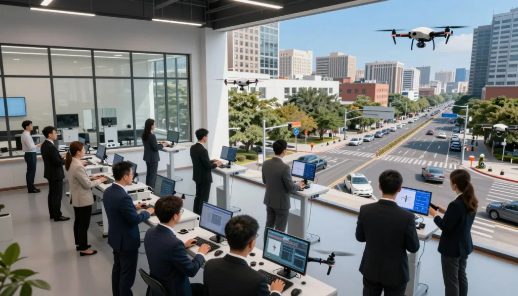
Traditional infrastructure, such as fixed cameras and loop detectors, often leaves gaps in coverage. Aerial traffic surveillance fills these critical blind spots by monitoring temporary hotspots and complex interchanges in real-time. This bird’s-eye view ensures that traffic flow remains consistent even during unexpected road closures or major public events.
“The integration of real-time aerial data into traffic management systems is not just an upgrade; it is a fundamental shift in how we ensure public safety on our roadways.”
Furthermore, the data gathered by these drones integrates seamlessly with adaptive traffic signal control systems. By combining AI-driven video analytics with sensor fusion, agencies can adjust signal timing dynamically based on actual vehicle density. This synergy between technology and human oversight leads to measurable improvements in urban mobility and incident clearance times.
How SRIZFLY Structures Realistic Traffic Patrol Practice
SRIZFLY provides a digital environment where traffic patrol missions come to life with precision. The platform transforms abstract patrol goals into structured operations that account for real-world road networks, specific task locations, and strict timing constraints. By simulating these variables, teams can prepare for high-pressure situations before they ever step onto the field.
The core of this simulation relies on a sophisticated directed graph model. In this framework, intersections function as nodes, while road segments act as edges or specific line-patrol tasks. This structure allows the software to map out complex urban environments with high accuracy. Precision in mapping is the foundation of effective mission planning.
A key feature of the platform is its focus on vehicle-drone coordination. The system assigns ground vehicles to specific routes while simultaneously deploying drones to inspect critical nodes. This dual-layer approach ensures that no part of the road network remains unmonitored during a patrol.
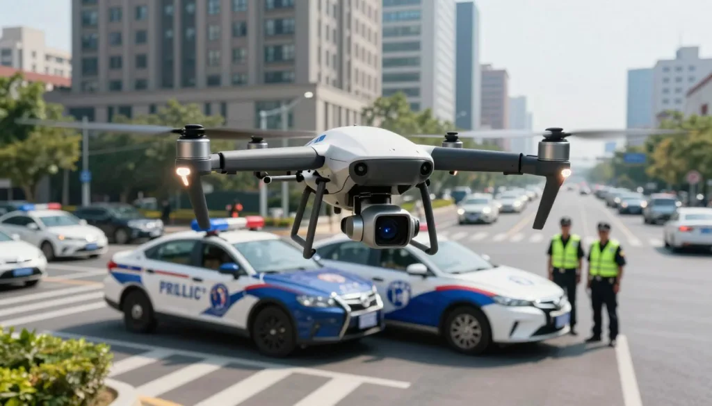
When implementing coordinated vehicle-and-drone patrols, the simulator manages the hand-off between ground units and aerial assets. Drones are tasked with covering segments and returning to designated recovery points for battery swaps or data offloading. This creates a seamless workflow that mimics actual field operations.
“The future of public safety lies in the ability to synchronize ground and air assets through intelligent simulation.”
The platform also incorporates advanced drone swarm behavior to handle multiple patrol routes at once. This allows for the management of large vehicle counts and changing congestion levels across a city. By simulating these interactions, commanders can test how their teams respond to sudden traffic spikes or accidents.
Finally, the integration of the CTM traffic model supports dynamic mission decisions. This model calculates how traffic flows change over time, allowing the simulation to adjust patrol routes in real-time. By using these tools, SRIZFLY ensures that every training session is as challenging and realistic as possible.
Key SRIZFLY Training Capabilities for UAV Traffic Patrol
Mastering drone patrol routing requires a platform that balances technical precision with real-world operational constraints. SRIZFLY provides this balance through a sophisticated three-layer design that mirrors the complexity of modern urban environments. The city layer maps roads and intersections, while the drone layer models specific flight paths and sensor capabilities. Finally, the traffic layer utilizes CTM cells to represent the dynamic flow of vehicles on the ground.
At the heart of this system is the TPRP-D planning framework. This tool allows agencies to compare heuristic approaches against Mixed-Integer Linear Programming (MILP) models to find the most efficient patrol patterns. By testing these algorithms in a virtual space, teams can identify optimal routes that maximize coverage while minimizing energy consumption. This data-driven approach ensures that every flight mission is backed by rigorous mathematical validation.
SRIZFLY also excels in managing swarm communications and signal optimization. The platform incorporates SPSA signal optimization to refine how drones interact with each other and with ground-based traffic-center systems. This seamless data exchange allows for real-time adjustments during a mission. When traffic patterns shift unexpectedly, the simulation adapts, providing operators with the insights needed to maintain situational awareness.
Professional preparation must account for the physical realities of flight, including drone endurance limits. SRIZFLY scenarios integrate battery management, launch and recovery timing, and communication range constraints. By simulating these factors, pilots learn to plan missions that respect the technical boundaries of their hardware. This training is essential for maintaining safety and operational continuity during long-duration patrols.
Compliance remains a cornerstone of professional FAA drone operations. The simulator includes built-in modules for managing no-fly zones, privacy protocols, and mission-specific regulatory requirements. Operators can practice navigating complex airspace while adhering to strict legal standards. This focus on compliance ensures that when teams deploy in the real world, they do so with confidence and full regulatory alignment.
“Simulation is the bridge between theoretical planning and successful field execution. By mastering the variables of urban traffic and flight dynamics, public safety teams can transform their operational efficiency.”
Ultimately, the platform serves as a comprehensive laboratory for public safety innovation. Whether refining drone patrol routing or testing new swarm communication protocols, users gain the experience necessary to excel. By bridging the gap between digital modeling and physical deployment, SRIZFLY empowers agencies to protect their communities with greater precision and foresight.
Conclusion
SRIZFLY bridges the gap between basic drone pilot certification and high-stakes field performance. By integrating UAS operator training with advanced simulation, agencies gain the confidence needed for complex missions. This platform prepares teams for real-world flight scenarios that range from emergency response to mapping.
The simulator provides a safe environment to practice drone traffic control without the risks of early field deployment. It covers over 120 FAA-required knowledge concepts to ensure total mission readiness. With more than 11,000 students trained and a 99% first-attempt success rate on FAA exams, the results speak for themselves.
Public safety agencies and training schools can now elevate their standards through proven technology. Visit the official website to trial the software or contact the sales team for a personalized demonstration. Download the latest whitepaper to learn how to optimize your drone traffic control strategy today.